


Päev 73. Dengtiltis – Kurtuvėnai. Žemaitija etnograafiline piirkond.
73. päev. Dengtiltis – Kurtuvėnai.
Dengtiltis – Kurtuvėnai Läbi Kurtuvėnai regionaalpargi
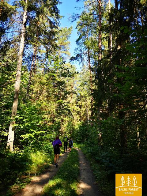
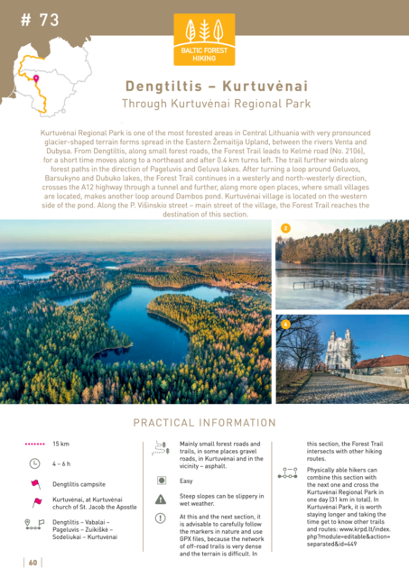
Kurtuvėnai regionaalpark on Kesk-Leedu metsasemaid alasid. Piirkonda iseloomustab liigendatud reljeef, mis on eriti märkimisväärne Venta ja Dubysa jõgede vahel asuval Ida-Žemaitija kõrgustikul. Dengtiltisist alates siirdub Metsa matkarada Kelmė maanteele (nr 2106) ja keerab sealt 400 meetri järel vasakule. Rada tiirutab metsateedel Pageluvise ja Geluva järvede poole, teeb looke ümber Geluva, Barsukyno ja Dubuko järvede ning keerab seejärel lääne ja loode suunas, ületab tunneli kaudu A12 maantee ning jõuab avamaastikule, kus teekonda ilmestavad väikekülad. Rada möödub ringiga Dambose tiikidest ning jõuab tiigisüsteemi läänekaldal olevasse Kurtuvėnai külla. Piki P. Višinskio tänavat, mis on küla peatänav, jõuab rada päevateekonna lõpp-punkti Kurtuvėnai keskuses.


