Section 73. Dengtiltis – Kurtuvėnai.
Dengtiltis – Kurtuvėnai Through Kurtuvėnai Regional Park
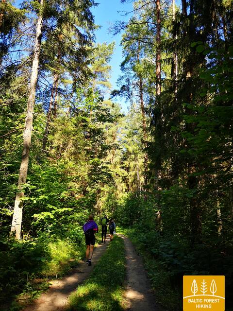
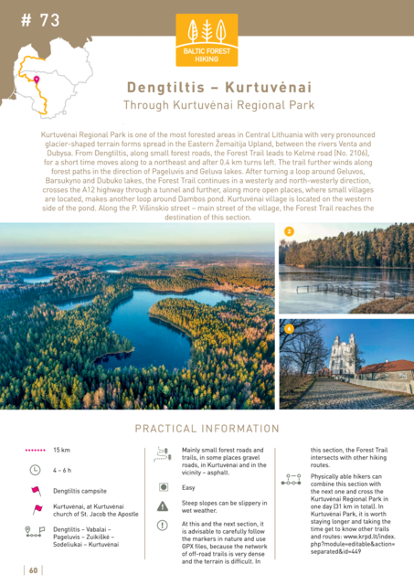
Kurtuvėnai Regional Park is one of the most forested areas in Central Lithuania with very pronounced glacier-shaped terrain forms spread in the Eastern Žemaitija Upland, between the rivers Venta and Dubysa. From Dengtiltis, along small forest roads, the Forest Trail leads to Kelmė road (No. 2106), for a short time moves along to a northeast and after 0.4 km turns left. The trail further winds along forest paths in the direction of Pageluvis and Geluva lakes. After turning a loop around Geluvos, Barsukyno and Dubuko lakes, the Forest Trail continues in a westerly and north-westerly direction, crosses the A12 highway through a tunnel and further, along more open places, where small villages are located, makes another loop around Dambos pond. Kurtuvėnai village is located on the western side of the pond. Along the P. Višinskio street – main street of the village, the Forest Trail reaches the destination of this section.


