


Section 84. Plateliai – Salantai. Žemaitija ethnographic region.
Section 84. Plateliai – Salantai.
Plateliai – Salantai Towards the Pajūris Lowland
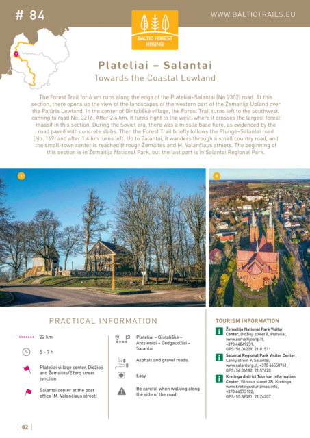
The Forest Trail for 6 km runs along the edge of the Plateliai–Salantai (No.2302) road. At this section, there opens up the view of the landscapes of the western part of the Žemaitija Upland over the Pajūris Lowland. In the centre of Gintališkė village, the Forest Trail turns left to the southwest, coming to road No. 3216. After 2.4 km, it turns right to the west, where it crosses the largest forest massif in this section. During the Soviet era, there was a missile base here, as evidenced by the road paved with concrete slabs. Then the Forest Trail briefly follows the Plungė–Salantai road (No. 169) and after 1.4 km turns left. Up to Salantai, it wanders through a small country road, and the small-town centre is reached through Žemaitės and M. Valančiaus streets. The beginning of this section is in Žemaitija National Park, but the last part is in Salantai Regional Park.


