Baltic Forest Hiking - Itinerary
Gauja National Park
GAUJA VALLEY – MOST IMPRESSIVE ANCIENT RIVER VALLEY IN LATVIA
Rāmkalni – Valmiera: 112 km, Day 4 – 8
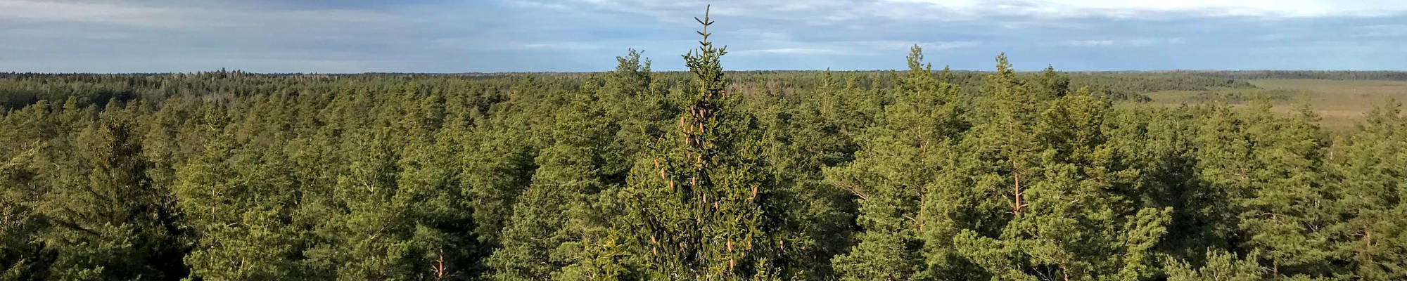
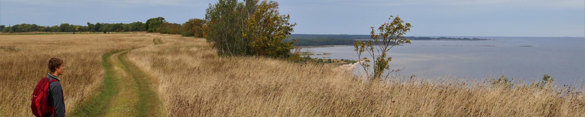
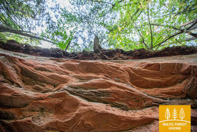
For some 100 km, Forest trail stretches through the ancient valley of Gauja River and Gauja National Park. The banks of the Gauja River reveal colourful sandstone outcrops which are reflected in the water. The sights are most wonderful in springtime, when bird cherry trees are in full bloom, and in autumn, as the trees turn red and yellow. The ancient valley of Gauja River has a distinctive terrain relief that can fluctuate up to 80 m. The largest part of the road leads through forest paths, along the river, and exits the woods in Līgatne and Sigulda.
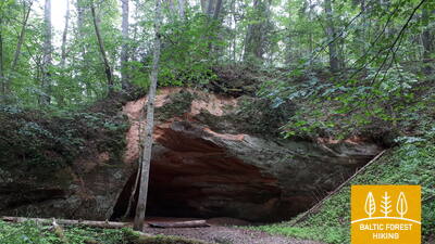
Highlights: The ancient valley of Gauja River – the deepest river valley in the Baltic States, Sigulda – one of the most popular tourist destinations in Latvia, Bobsleigh and Luge Track Sigulda, Sigulda cable car over river Gauja at a height of 43 m, Medieval castles of Sigulda, Krimulda, Turaida and Cēsis, Gūtmaņala Cave, the largest grotto in the Baltic States, Līgatne Nature Trails offer a chance to observe local wildlife and birds, Līgatne Paper Mill Village – industrial heritage, Secret Soviet Bunker in Skaļupes, Medieval Old Town of Cēsis, Devil’s Cave cliff, Kūķu Rock, Zvārtes Rock, Ērģeļu Cliffs and Sietiņiezis – the most impressive Devonian sandstone outcrops in Latvia, Valmiera – northern gateway to the Gauja National Park.
 Section 4. Rāmkalni - Sigulda.
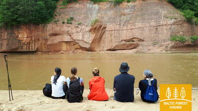
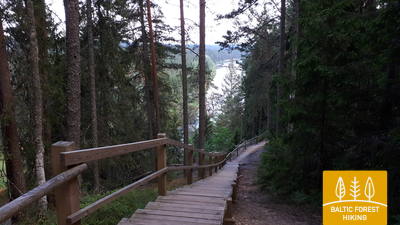
Stunning scenery of the ancient valley of Gauja River near Sigulda
Past “Rāmkalni”, the Forest Trail wanders up the steep banks of Gauja valley, passes through Gauja village and comes back down. Then it crosses river Lorupe and continues along the bends of river Gauja, passing one of the most spectacular outcrops of the river, the Velnala Cliffs, goes up to Ķeizarskats observation spot and circles down to Ķeizarkrēsls, adventure park “Mežakaķis” at Kaķīškalns and the Sigulda Bobsleigh and Luge Track.
Section 5. Sigulda - Līgatne.
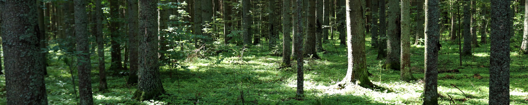
In the heart of Gauja National Park
After passing through Sigulda, the Forest Trail follows the River Vējupīte to Mound Paradīzes, where a steep staircase leads down into the ancient valley of Gauja River and the ravine of River Vējupīte. It continues to wind down smaller paths through meadows, crossing small rivers whose banks reveal sandstone outcrops. The last six kilometres of this section follow a smaller path down Līgatne Nature Trails. As it draws closer to Līgatne, the Forest Trail moves up the hills of Gauja valley, before descending back down into the deep ravine of Līgatne River, where the village of the former Līgatne Paper Mill is located.
 Section 6. Līgatne - Cēsis.
Along the old Cēsis road through the valley of Amata River
One of the most scenic parts of the Forest Trail stretches along the historic village of the Līgatne Paper Mill, passes Spriņģi Rock, curves along Skaļupe Trails and the Mythological Trail, stops at one of the most secret sites on this side of the Iron Curtain, the Soviet Bunker, then continues along Roči Nature Reserve, crosses Amata (the most beautiful and rockiest part of the river) and finally comes to Zvārtes Rock. Next, the Forest Trail runs along the high banks of Amata valley and follows the historic Cēsis–Riga “highway” (now a small rural/forest road with old mileposts) to Rakši, then ascends up the Vāļukalni hills and Ozolkalns, following along the River Gauja until it meets Cīrulīši Nature Trails. It comes to a stop at Gaujas street, but travellers may continue down the path for a further 2.8 km to Cēsis, spend the night there, and continue walking on the following day.
Section 7. Cēsis - Caunītes.
Impressive sandstone outcrops on the banks of River Gauja
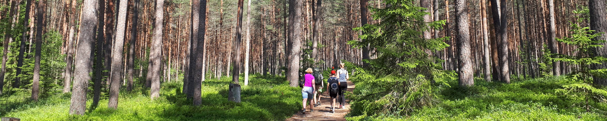
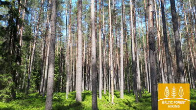
The Forest Trail follows small roads and trails through the woods up until the water tourist camp “Lenči”, winds through the ever-changing terrain past Ērģeļu Cliffs and enters the ancient valley of Gauja River. Having passed Ērģeļu Cliffs, the trail turns back towards Cēsis, but then veers off towards Rāmnieki in Pieškalns, crossing the river. After the water tourist camp “Jāņarāmis” the Forest Trail enters a beautiful, bright pine forest, proceeding through the woods until it reaches “Caunītes”, which is one of the most beautiful places on the banks of the Gauja River.
 Section 8. Caunītes - Valmiera.
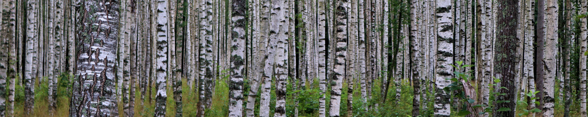
On the road to Valmiera – the “Green City”
From Caunītes, the Forest Trail leads through mesmerising pine forests and wetlands, across and around hills and slopes. One of the most beautiful views of the River Gauja opens from Sietiņiezis, and it might be worth devoting some extra time to visit the Sietiņiezis Nature Trail. The further road stretches along farmsteads and through forests, until reaching Valmiera. After Valmiera bypass, the Forest Trail leads down urban sidewalks, while the last stretch of road – from the so-called “Dzelzītis” (a narrow-gauge railway bridge) to Cēsu street – follows a wooded path along the Gauja River.