


Section 71. Šilutė – Ventė. Nemunas delta.
Section 71. Šilutė – Ventė.
Šilutė – Ventė Through Nemunas Delta Regional Park
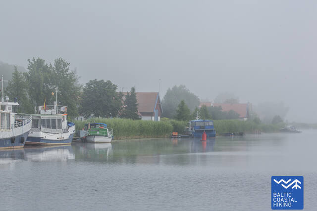
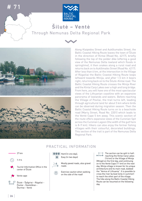
Along Klaipėdos Street and Aukštumalės Street, the Baltic Coastal Hiking Route leaves the town of Šilutė in the direction of Kintai (Road No. 4217), briefly following the top of the polder dike (offering a good view of the Nemunas Delta lowland which floods in springtime), it then snakes along a rural road and returns back on to Aukštmalės Street (Road No. 4217). After less than 6 km, at the intersection in the Village of Rūgailiai the Baltic Coastal Hiking Route loops leftward towards Minija, and after 1.5 km it bears right, returning back on to the Šilutė–Kintai road. The Baltic Coastal Hiking Route crosses the Minija River and the Kintai Carp Lakes over a high and long bridge. From here, you will have one of the most spectacular views of the Lithuanian coastline with an expansive panorama of lowlands and waters. Before reaching the Village of Povilai, the trail turns left, leading through agricultural land for about 5 km where birds can be observed during migration season. Then the Baltic Coastal Hiking Route turns on to a beachside road (Marių Street, Road No. 2201) which leads to the Ventė Cape 5 km away. This scenic section of the route offers expansive views of the Curonian Spit across the Curonian Lagoon (the width of the gulf here is 8–9 km). Hikers can also enjoy the former fishing villages with their colourful, decorated buildings. This section of the trail is part of the Nemunas Delta Regional Park.


