Forest Hiking
News
Facts
Practical info
Trail surfaces
Nature
Tours
Accessibility
Publications
Trail apps
Marketing
Itinerary
Map
Destination
Getting there & around
Gallery
General information
Seasonal activities
What to see & do
Souvenirs
Hiker-friendly
Helpful links
Volunteer with us
About us
High contrast
EN
English
Eesti
Latviešu
Lietuvių
Deutsch
Русский
EN
ET
LV
LT
DE
RU
News
Forest Hiking
Facts
Practical info
Trail surfaces
Nature
Tours
Accessibility
Publications
Trail apps
Marketing
Itinerary
Map
Destination
Getting there
Gallery
General info
Seasonal activities
What to see & do
Souvenirs
Helpful links
Hiker-friendly
Volunteer with us
About us
High contrast
Login
Itinerary
Veclaicene Forestland
Dzukija, Lithuania
Banks of Nemunas, Lithuania
Kaunas, Lithuania
Valley Dubysa river, Lithuania
Žemaitija, Lithuania
South Kurzeme, Latvia
Kuldiga and surrounding, Latvia
Abava valley, Latvia
Tukums and Ķemeru NP, Latvia
Jūrmala and Rīga, Latvia
Riga and Riga Region, Latvia
Gauja National Park, Latvia
North Gauja, Latvia
Veclaicene Forestland, Latvia
Haanja upland, Estonia
Setomaa region, Estonia
Peipsimaa region, Estonia
North Estonian coastline, Estonia
Section 14.
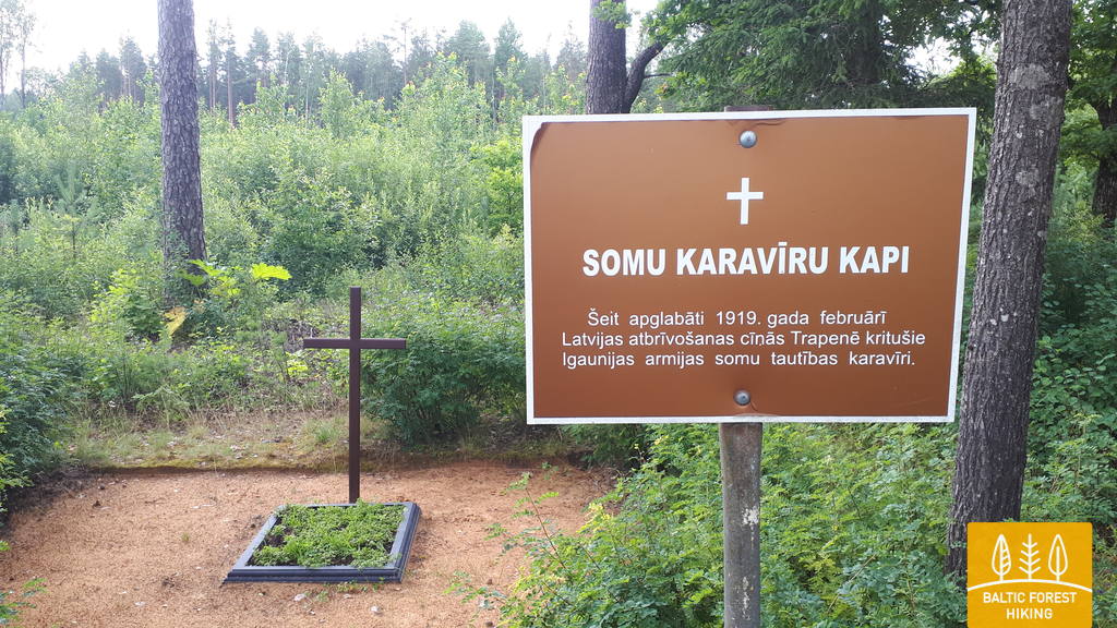
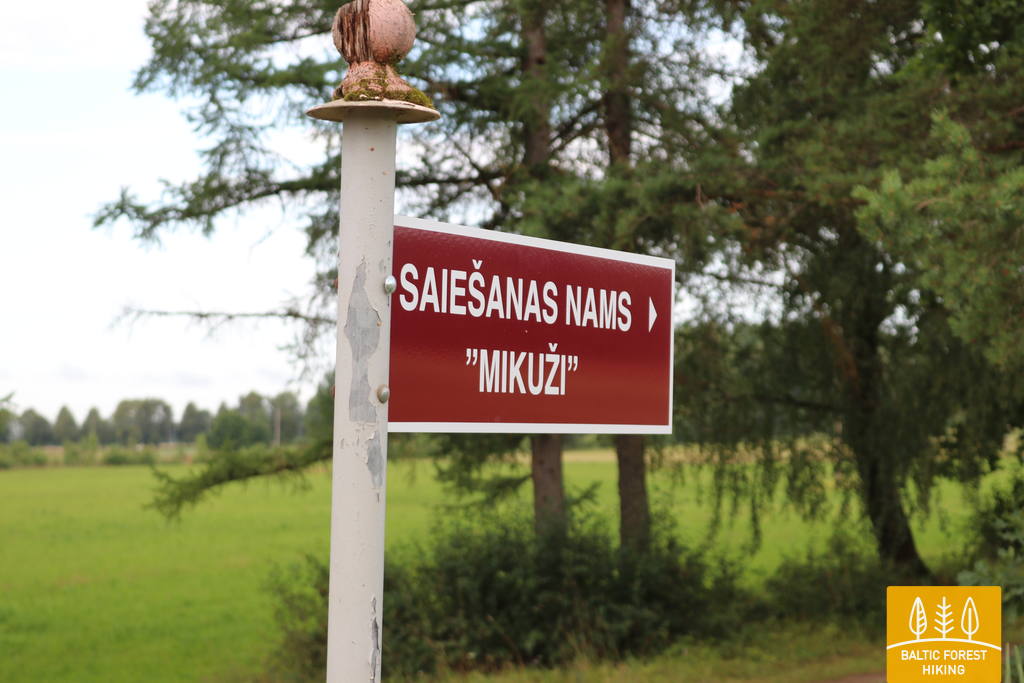
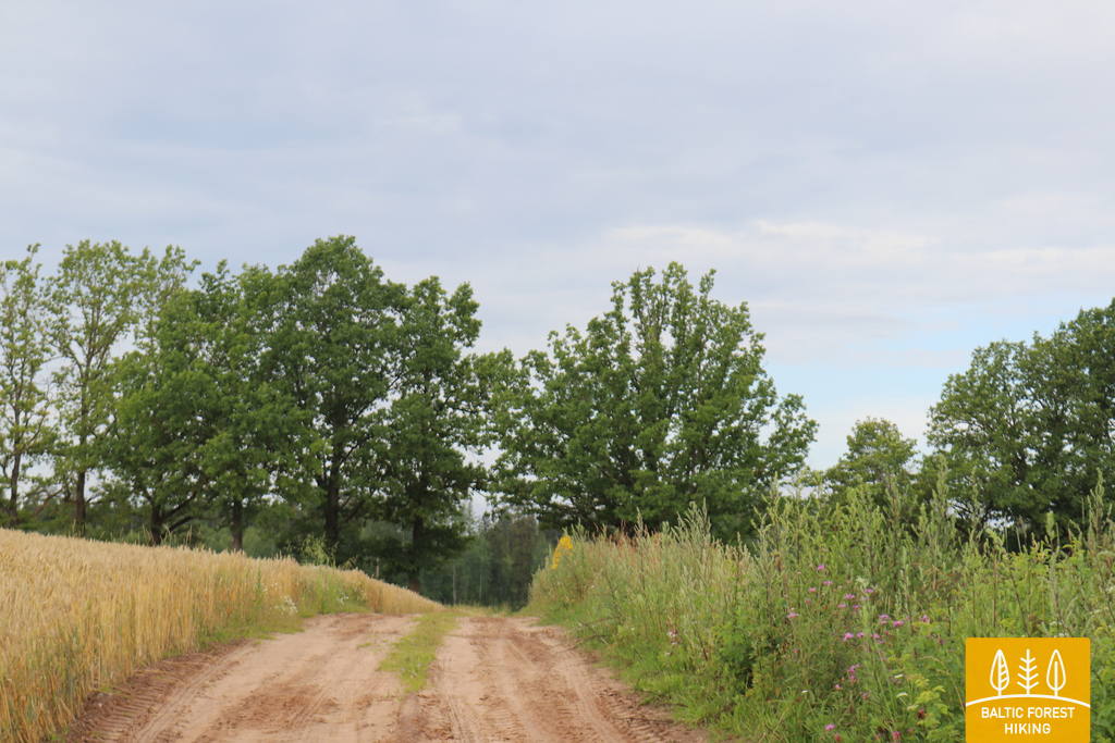
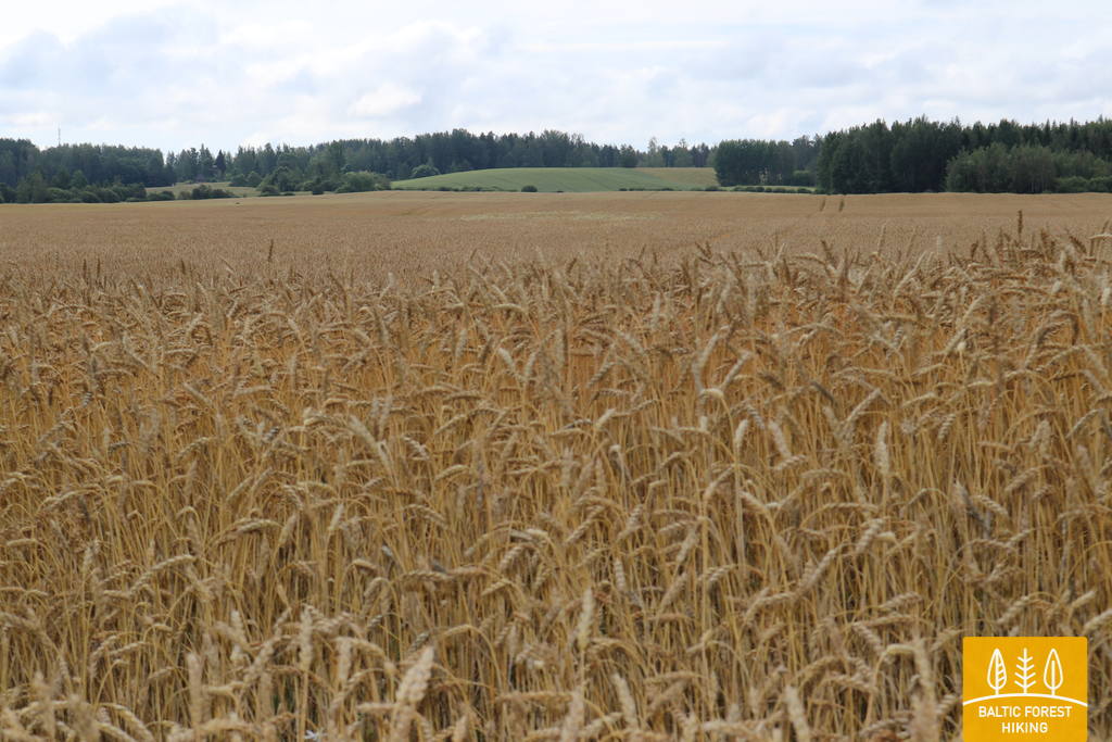
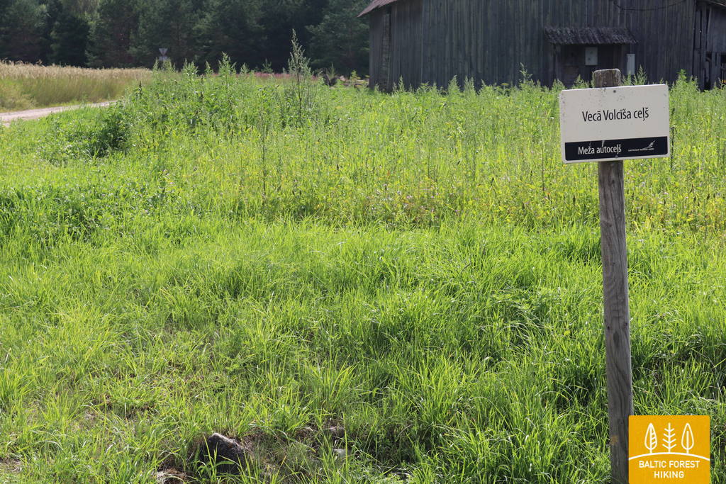
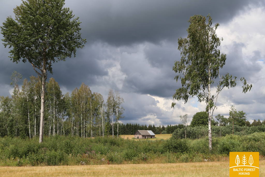
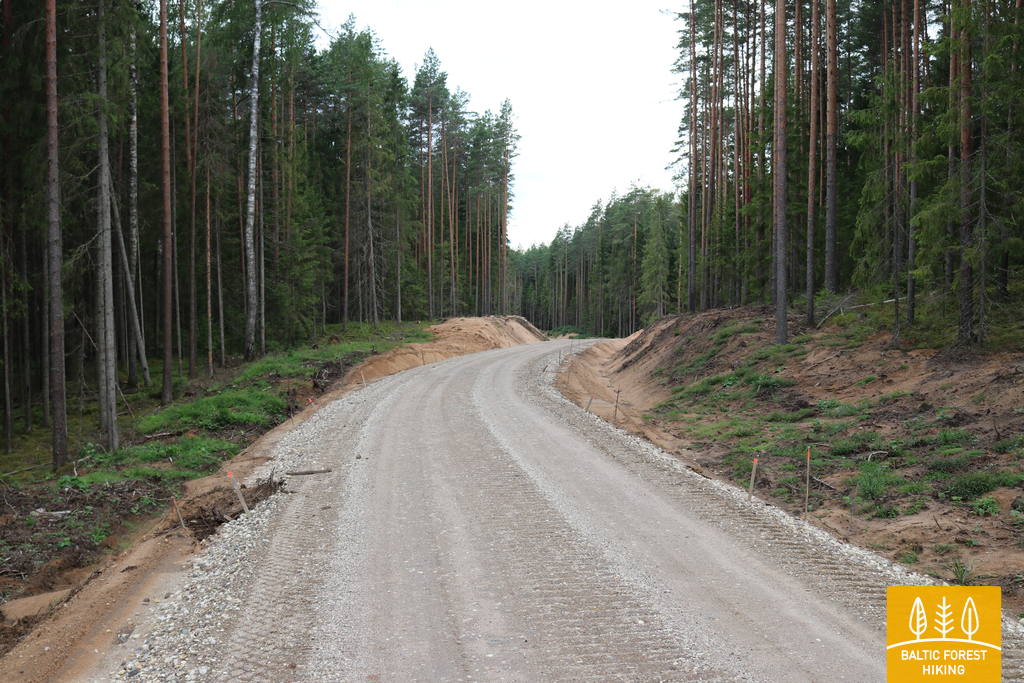
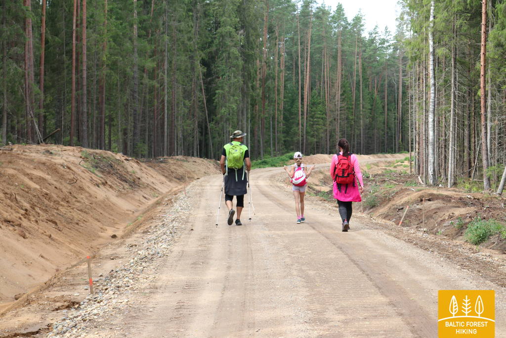
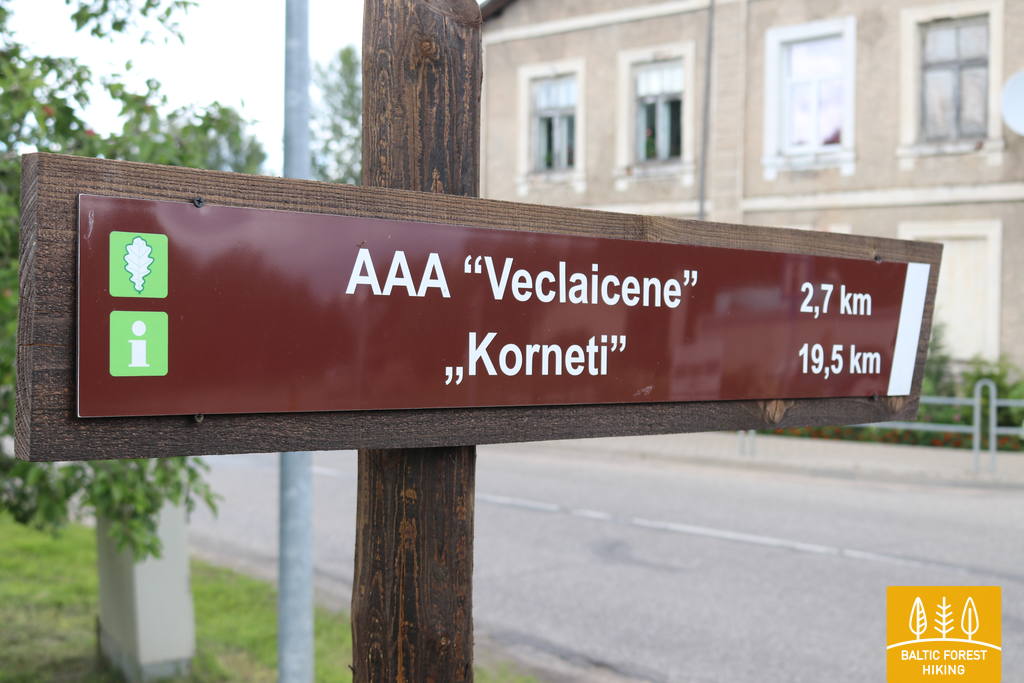
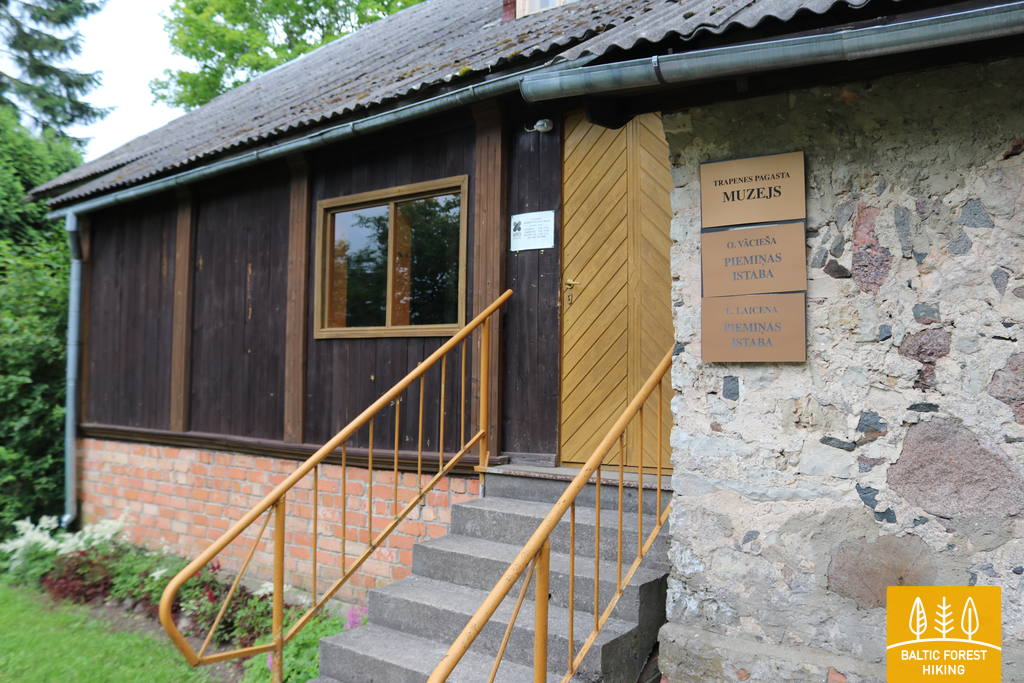
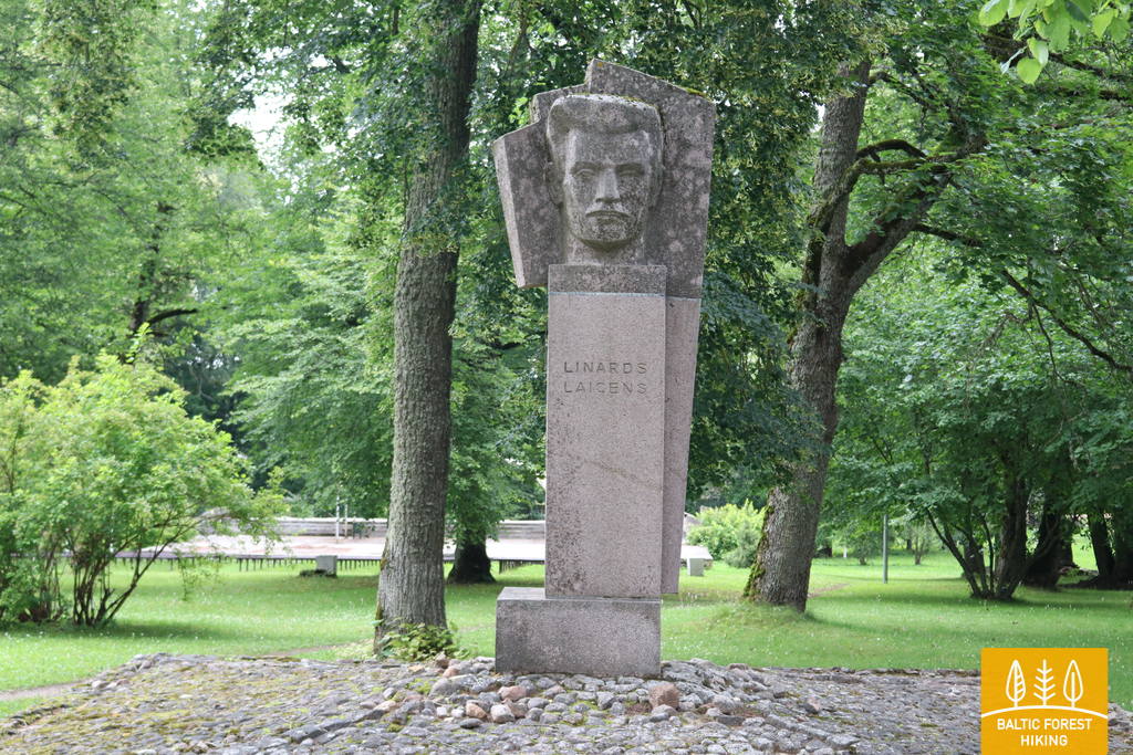
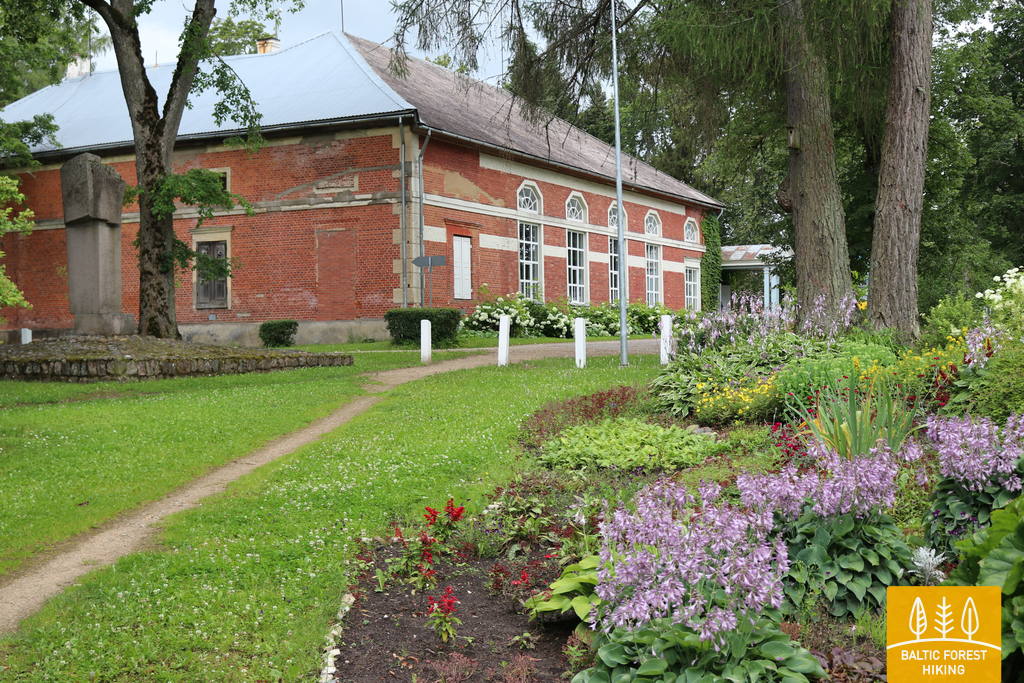
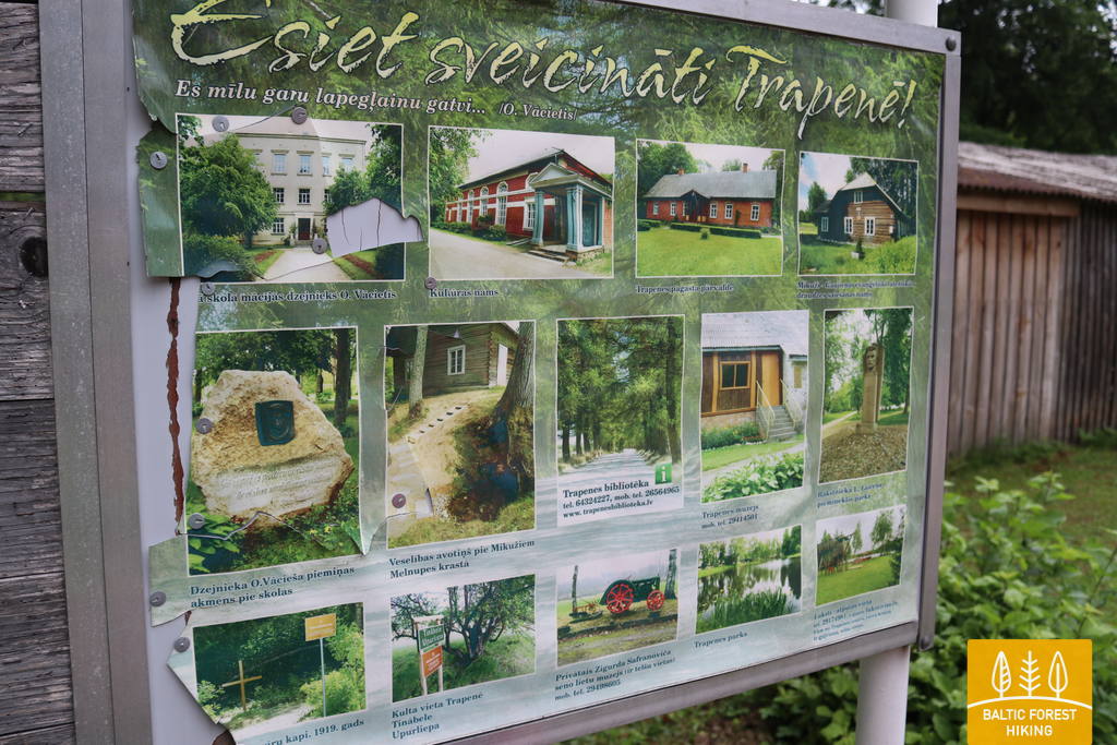
Section 14. Trapene - Ape.
Section 15. Ape – Paganamaa – Korneti – Latvian/Estonian border.
Section 14. Trapene - Ape. Veclaicene Forestland.
Veclaicene Forestland.
Section 14. Trapene - Ape.
Overview
Info
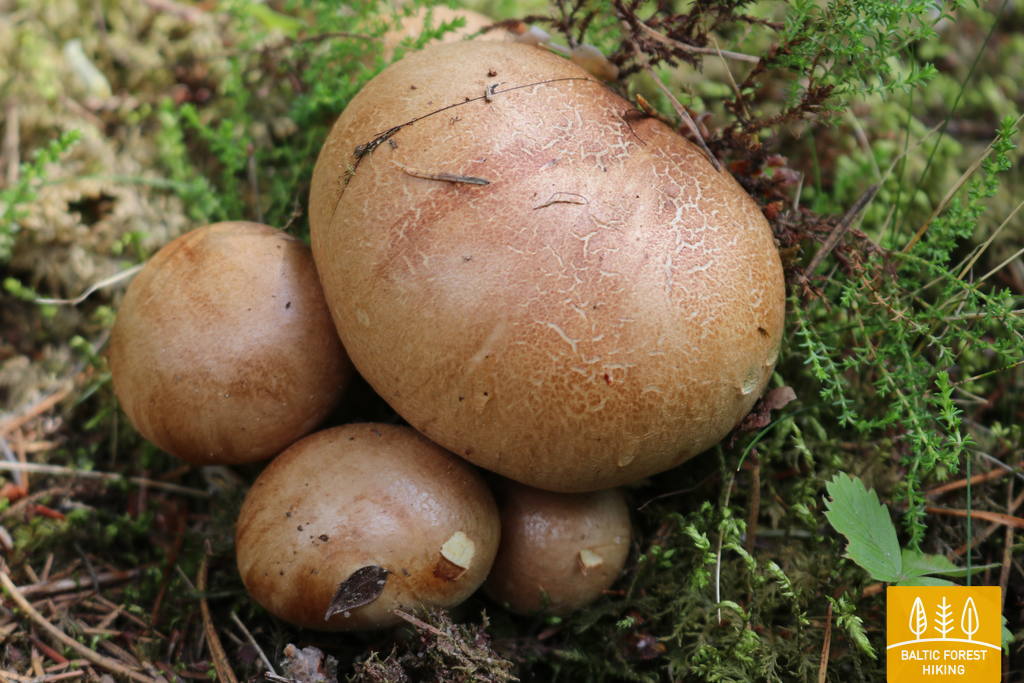
Nature
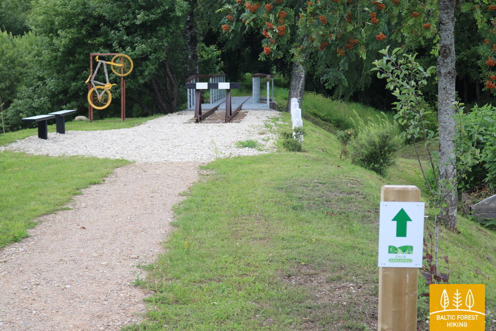
Photo
Map
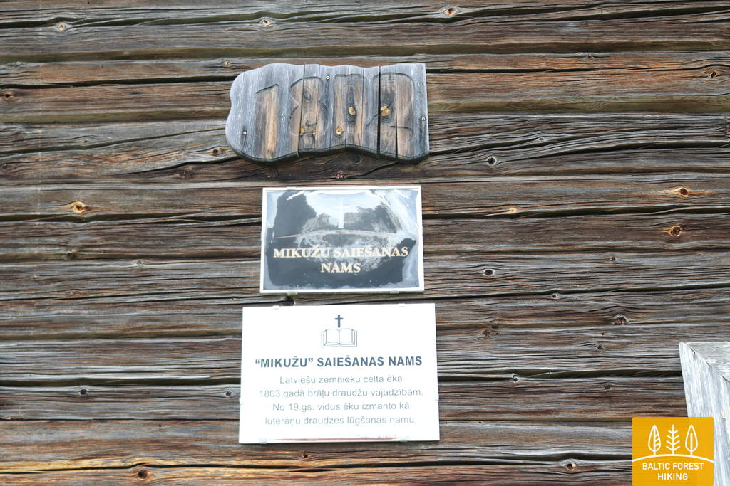
Worth seeing
Services
GPX
Baltic Country Holidays
, Kalnciema street 40, Rīga, Latvia, LV-1083, phone: +371 26433316,
lauku@celotajs.lv
,
www.celotajs.lv