


Baltic Forest Hiking - Practical Info
Services and infrastructure
 The number of accommodation places varies between different sections of the Forest Trail. Information on the accommodations can be found in the description of each section. It gives the name of the accommodation, its coordinates and the . It is a good idea to book the accommodations in advance, since they tend to be booked during the tourism season. However, during the winter, some accommodations may be closed.
 The availability of catering services varies between the sections. Some sections feature no catering providers at all. Please note that some companies operate only during the summer or at certain times, so it is advisable to call before visiting.
 There are more than 190 publicly accessible, well-developed and free-of-charge picnic areas near the Forest Trail. They have canopies, tables, benches, garbage bins, as well as campfire or grill sites and toilets (the layout of the picnic area is different in each place). There are also picnic areas in campsites and near accommodation places, but seek prior approval from their owners to use them. The symbol
  indicates campsites available for tenting. The symbol
  indicates places where campfires and grills are allowed.
 Shops can be found in the more populated areas. Keep in mind that there are some sections of the Forest Trail with no shops within one or more days’ walking distance. This information is given in the descriptions of the sections.
Public transport (mostly bus, train in some parts) is available in the immediate vicinity of the Forest Trail, but check the running schedules ahead of time. In Lithuania: www.autobusubilietai.lt/ (buses) and www.traukiniobilietas.lt (trains). In Latvia: www.autoosta.lv (buses), www.pv.lv (trains), and www.1188.lv/satiksme (public transport), in Estonia: www.peatus.ee (buses), www.tpilet.ee (buses), and www.elron.ee (trains). You can use the urban public transport in Kaunas, Riga and Tallinn. Estonia’s small islands can be reached via small boats: Prangli (www.tuuleliinid.ee), Naissaar (www.monica.ee), Pedassaar (mart.praks@gmail.com, +372 5040792)
 To find out the current weather conditions in trails, more than 50 live cameras located on the trail routes have been added to the maps of both trails. Cameras are located on beaches, ports, populated areas, near tourist accommodation, in cities. Coating – on average, one camera for every 40km – allows you to judge the weather conditions and choose the most suitable equipment for the day of hiking. - open the map, mark the option "Webcam" to see all the cameras located on the trail, click on the link to open the camera on the section of the trail you are interested in, evaluate the weather conditions and choose what to take with you on the hike - raincoat or suntan cream!
Section description and maps provide information on ATMs, pharmacies and the nearest tourism information centres  .
.
Doctor’s offices, medical practices and pharmacies are available in the cities and the more populated areas. In case of an emergency situation: 112!
How to complete the Forest Trail?
- The Forest Trail consists of #102 separate sections which are described in the guide and website.
- Each # section is considered to be a separate, independent route. The guide and website uses

 as symbols for the recommended starting and end points for each specific # section. By combining # sections, you can complete multiple # sections as one route.
 - The Forest Trail can be started from any physically available location and it can be hiked in both ways (there are markers in both directions).
- Depending on your interests and possibilities, some # sections can be covered by public transport rather than on foot. You can also make a deal with the owners of accommodation places to arrange personal and luggage transport.
- You can get printable descriptions of the route for each day and download the GPX files at baltictrails.eu/forest.
- There are specific markers
 on trees and other objects along the route to help you get your bearings in nature and not lose track of the road. In populated areas, the Forest Trail is marked by stickers
 on road signs and other objects. On the coast of the Gulf of Finland, from Toila to Tallinn, the Forest Trail can also be marked by
  , and in places where the trail overlaps with the trails developed by the Estonian State Forests (RMK), marking like this
  will appear.
 - Significant tourist sites along the Forest Trail are marked by information boards.
- In wooded areas, the Forest Trail leads along small forest or rural roads and trails, where possible. In order for the Forest Trail to exist as one, uninterrupted route, in some parts it runs along the side of asphalt roads. On the northern shores of Lake Peipus and in some places along the Gulf of Finland, it runs along sandy beaches or stony, rocky and sometimes overgrown shores. In cities and settlement areas, the Forest Trail leads along pedestrian sidewalks or the side of the street.
- The maps attached to the guide will help you complete the Forest Trail. You can also ask the locals for directions.
- Sections of the Forest hiking trail beaches are not walkable during storms.
- HOW DO I TRAVEL ALONG THE FOREST TRAIL IF I LEAVE MY CAR AT THE STARTING POINT?
- Where possible, you can use the public transport to get back to your car and head to the place of accommodation or another destination.
- You can make an agreement with the owner of the accommodation place regarding transfer services. That is, the host can take you back to your car or pick you or your belongings up, if necessary.
- Hikers can organise their transportation by leaving one car at the end point and another one at the starting point. In this way you can use the car in the end point to return to the car parked at the starting point.
If you plan to go hiking in WINTER:
- Do not step on bodies of water covered by ice - rivers, streams, lakes, swamps or the sea. The ice can be fragile and there is always a possibility to break in, even if the ice layer is thick in most places! To cross rivers in winter that flow into the sea, you have to go to the nearest bridge or crossing. In this case, additional distance must be taken into account.
- If the air temperature is low, it is not advisable to hike in areas where there are long distances between service providers or public buildings, as prolonged exposure to low temperatures can lead to body hypothermia.
- On winter hikes, it is recommended not to rely on one set of clothing, but to bring extra clothing that can be worn if it gets cold or if the existing clothing gets wet.
- When the trails are covered with snow, it is advisable to use footwear gaiters, which will protect your feet from moisture. Also take into account that it is more difficult to walk on snow and it will take more time.
- It gets dark earlier in the winter, so hikes have to be planned shorter and should be started with the first rays of light, otherwise you have to take into account that part of the section will have to be covered in the dark.
- Take a flash-light with you! This will be useful if there are delays and it is necessary to clear parts of the route in the dark, as well as in extreme cases when it could be necessary to report your location to rescuers.
- Slopes of river valleys, ravines, steep banks and other forms of terrain, as well as any other place of the route can be slippery in winter! Be aware of the chance of falling and getting injured!
- At low temperatures, especially during stronger winds, it is easy to get frostbite.
- Take lighters or other ways to light a fire with you on the hike so that you can warm up or dry your clothes if necessary.
- You will also be able to warm up by hot tea or food, so for this purpose we recommend using a thermos suitable for low temperatures or bringing a hiking stove to prepare a hot drink / food.
- For safety reasons, it would be recommended not to go on winter hikes alone, but at least in pairs.
- However, if you have decided to go hiking alone, be sure to inform your family and friends about your planned route and possibilities to contact you to make sure everything is in order.
- Be sure to bring a phone and an extra rechargeable battery. Remember that batteries discharge faster in cold weather. Keep them as close as possible to yourself – near something warm, which will prolong their service life.
- In winter (and during the off-season) many service providers have stopped working, so the hike needs to be planned more carefully by calling the necessary service providers in advance and making sure of their working hours.
- Snow is cleared from the route only in populated areas.
Information about types of surfaces can be found here: baltictrails.eu/en/forest/surfaces
The information compiled in this website and the content of the GPX files correspond to the situation in 2019 and 2020. When using the GPX files, keep in mind that in forests, cities and populated areas, by bluffs, etc., the itinerary of the Forest Trail is/may be shifted (there might be an error).
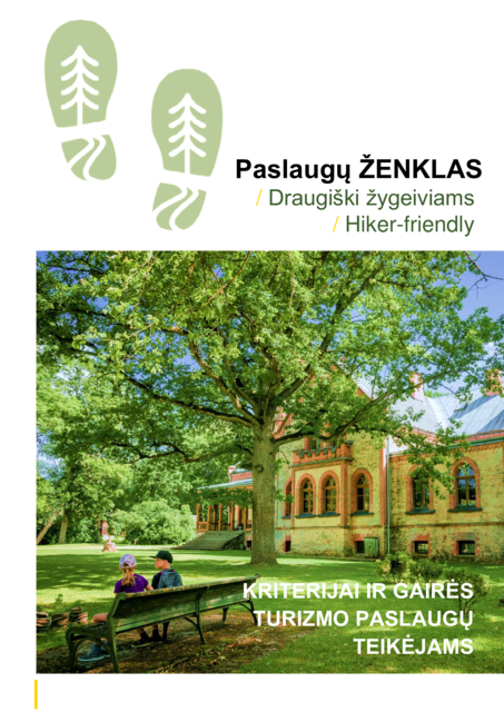
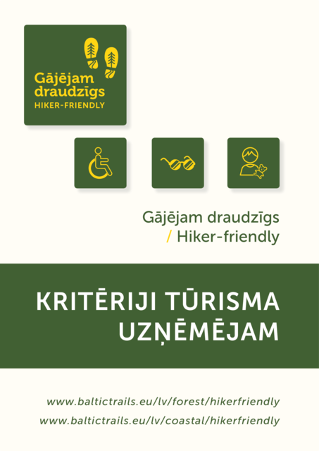
Hiker-friendly
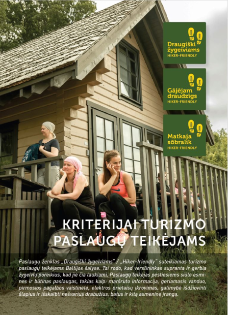
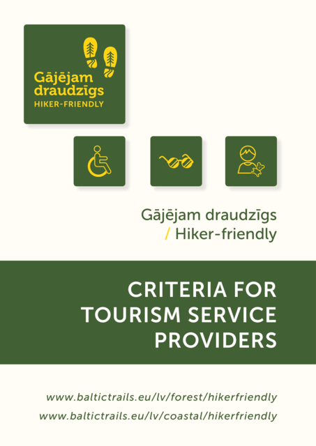
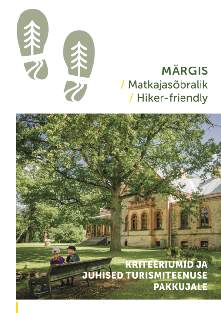
The “Hiker-Friendly” sign is available to any service providers for tourists in the Baltic States that want to be “friendly” toward hikers and to offer the relevant services to the target audience. The label is not linked to any specific pathway or route. The “Hiker-Friendly” criteria are guidelines for service providers. Some of them are mandatory, while others are recommended. A company which wants to get the sign must satisfy at least 75% of the mandatory criteria.
More information below:
Hiker-Friendly


Useful advice
Cash and documents
- It is recommended that you take some cash (EUR) with you on the trip, as in some places credit cards are not accepted and ATMs are not available.
- You must carry identity documents valid for travel when crossing the border between Lithuania, Latvia and Estonia.
Equipment
- Closed footwear is best for stony and rocky sections such as the shores of the Gulf of Finland, while in places with an overgrown coast, water-resistant footwear will come in handy. Water and wind resistant clothing will also prove useful.
- A medical kit containing band-aids is advisable, especially for novice hikers.
- Grabbing a power bank for your phone may be a good idea.
Tents and campfires
- Places where tents can be set up and campfires lit are indicated in the descriptions of the sections. Look for more information in local .
- If no firewood is provided, dry and fallen branches can be collected for campfire. Always make sure that the fireplace is properly extinguished. It is forbidden to light campfires during periods of high fire danger.
In Lithuania, Latvia and Estonia, in accordance with safety regulations, it is permitted to use a portable Primus stove for making food, coffee or tea. Gas cylinders can be purchased at the following stores near the Forest trail route (contact in advance):
Rīga
Shop “Gandrs”, Rīga, Kalnciema street 28, +371 25445223
Shopping Center "Alfa", TP "Alfa", Brīvības gatve 372, +371 22018137
Cēsis
Shopping Center “Mājai un dārzam”, Lapsu street 31, +371 27861641
Valmiera
Shop “Gandrs”, Rīgas street 27, +371 22018353
Tartu
MatkaSport store, Ringtee 78, +372 53016181
MatkaSport store, Lõunakeskus, Ringtee 75, +372 6813147
Store “Magaziin”, Ringtee 10, + 372 5552 0333
Jõhvi
Tools market, Tooristamarket, Narva mnt., 143A, +372 53458401
Rakvere
Tools market, Lõõtspilli 2, Lääne - Virumaa, Rakvere, +372 51973977
Tallinn
Tools market, Pärnu mnt 238, Tallinn, +372 53440330
“MatkaSport store”, Järve shopping Center, Pärnu mnt 234, +372 6813140
Safety and communication
- If you have any questions about the Forest Trail, contact the local .
- In some places, mobile network coverage may be unavailable. Next to the Russian border, your phone might connect to Russian mobile operators.
- Most accommodations and catering facilities offer Wi-Fi.
- Cliffs and bluffs consist of unconsolidated sedimentary rocks. Landslides and landfalls may form near them.
- If strong wind is blowing, approaching places where the bluffs are washed against by waves may be dangerous; they should be bypassed.
- Mosquito repellent will come in handy in warm weather. Ticks may be encountered in bushes and grasslands.
- There are no plant or animal species which are poisonous or dangerous to humans (including jellyfish) in the Baltic Sea or inland waters. The viper is the only poisonous snake species in the Baltic States. It usually won’t attack unless threatened. They inhabit clearings and the edges of a forest overgrown with grass and bushes, bogs and sparse pine forests with heather and forest berry bushes. They like to bask in the sun on trails.
- If you need to call the police, dial the numbers 110 or 112.
- Former military sites that are not open to visitors may be unsafe.
- Bears do not attack people - to scare away bears, you have to make noise (talk, sing).
Eco-friendly travelling
- The symbol of specially protected conservation areas and nature objects is

- It is perfectly safe to drink tap water in Lithuania, Latvia and Estonia. Please use a reusable bottle!
- Try to buy products with less packaging and take the trash produced to the nearest waste bin. When in nature, leave nothing but your footprints behind!
- Walk silently to not disturb the animals.
- Observe the “rules of conduct” in specially protected areas. More information here: www.daba.gov.lv. The so-called green tips for environmentally friendly travel in protected nature areas can be found here: https://www.daba.gov.lv/public/lat/turistiem/zalie_padomi
- The Estonian Environmental code of conduct for those rambling outdoors can be found here: http://loodusegakoos.ee/rules–of–conduct/freedom–to–roam. It is forbidden to use bicycles and motor vehicles on pedestrian paths in Estonian special protection areas.
- In Lithuania:
- Before visiting national and regional parks, study the rules of conduct for each park.
- Resting and staying overnight is only allowed at specially designed and equipped places.
- If you wish to stay the night in a tent, car or trailer, you must stay at a campsite or a designated rest site.
- Campfires may only be lit in specially equipped places. Open fire poses a great risk to forests.
- Watch animals from a distance and do not feed them. Domesticated and improperly fed animals will not survive in the wild.
- Leave nothing behind. Waste and other traces of human rest do not embellish nature.
- Do not harm nature. Do not break trees or shrubs. They are part of nature and home for animal.
- Respect other people’s property. Do not vandalize infrastructure facilities that are part of the Forest Trail and are used by other holidaymakers.
- Do not let the dog in the woods without a muzzle. A muzzle is not required if the dog is held on a leash.
If you are travelling with a dog
- Each local government determines where dogs are permitted or where you can walk a dog without a leash. These rules are subject to change, so the safest way to clarify the situation is to call the local government .
- In most cities and villages outside a demarcated area, the dog must be on a leash. It is forbidden to bring dogs into children playgrounds, sports grounds and recreational areas, especially in designated swimming areas. When entering the picnic areas indicated in the guide, the dog must be on a leash.
- As you walk through the forest, take extra care to make sure that the dog does not disturb nesting birds and other wildlife.