Section 1. Old Riga - Baltezers. Riga and Pieriga.
Section 1. Old Riga - Baltezers.
Practical information
Length: 19 km
Duration: 6 – 8 h
Starting point: Old Riga, Town Hall Square (Rātslaukums) by the Riga TIC
End point: Baltezers, by the hotel “Baltvilla”
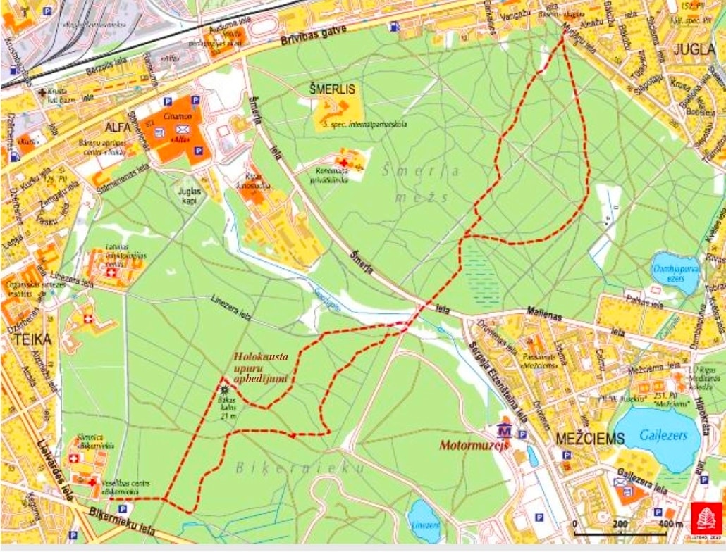
The course of the route: Rātslaukums – Kaļķu street – Inženieru street – Vērmane Garden park – Tērbatas street – Tallinas street – Krišjāņa Barona street – Pērnavas street – Zemitāni railway station pedestrian bridge – Ieriķu street – Kastrānes street – Raunas street – Ķeguma street – Biķernieki forest – Šmerlis – Šmerlis forest – Brīvības avenue – Melderu street – Rožu street (avenue) – pedestrian-cycle path along Rīga-Sigulda highway – Senču avenue – Baltezers
Road surface: Mainly paved sidewalks, pedestrian and cycle paths, forest roads and trails
Difficulty: easy
Danger points: Cross highways and railway tracks only in designated areas!
Keep in mind! The division between pedestrian and cycle lanes, as well as safety rules must be observed when walking the shared pedestrian and cycle paths.
Alternative route options:
- The route from the Monument of Freedom may be continued along Brīvības avenue. An intercity bus may be taken to Baltezers.
- An alternative path runs in Biķernieki and Šmerlis forests, which forms a pleasant walking rout in the forests of Riga and can serve as a separate trail, although when reaching Murjāņu Street, you can turn to Brīvības Avenue and continue walking the main route of Forest Trail. This path is marked with white-red-white signs so that it is distinguished from the main rout of Foresttrail.