Туры
Here you can find hiking tours for one and multiple days (up to 16 days) in Latvia, Estonia and Lithuania, which is part of the northern part of the Baltic Forest Hiking long distance path (in Latvia – Mežtaka, in Estonia – Metsa matkarada, in Lithuania - Miško takas) (E11) – the most interesting, scenic forest areas of all three countries, which are renowned for their natural and cultural objects. Several tours include national parks, nature parks, and biosphere reserves, as well as UNESCO World Heritage sites.
Every tour includes a schematic tour map, provides information about the mileage to be covered within a day, level of difficulty, most outstanding sightseeing objects, as well as practical information about the road surface, getting to the starting point and returning from the finish back to the city.
The tours are provided for both individual travellers and small tourist groups. It is recommended to book transport (rent a car or use public transportation), accommodation and meals in advance, as well as arrange personal and luggage transfer if necessary.
The tours may be shortened or extended depending on the wishes of travellers. These hiking tours, or some of them, may also be included in the traditional tourism routes and city excursions to diversify the offer.
Also you can download all tours in one PDF document.
| Name | Description | |
|---|---|---|
|
Riga surroundings: Vangaži – Rāmkalni (LV) Rīga – Vangaži – Rāmkalni – Rīga Duration: 1 day Distance: 15 km (5-7 h) |
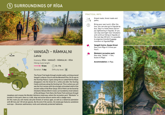
The Forest Trail leads through smaller paths, arching around Vangaži Lutheran Church and the Werewolf Pine. On its way to the Hunting Palace, it passes the garden created by opera singer Anna Ludiņa and then follows the Hunting trail. The first side ravines with the pronounced relief of the ancient valley of the River Gauja can be seen here. One of them is located by Inčukalns Velnala (Devil’s Cave), surrounded by small river channels of the old Gauja. From there, the Forest Trail continues through meadows and crosses the Murjāņi–Valmiera motorway, where the recreation park “Rāmkalni” is located. In this park, there is a café, shop and active leisure centre with a sledge track. On this route you will mainly see pine forests of various ages, as well as the botanical plantation with 80 tree and 120 shrub species. By the end of the section, the landscape features sandstone outcrops – Devonian sedimentary rocks and habitats protected in Latvia. |
 |
|
In the heart of Gauja National Park: Sigulda – Līgatne (LV) Sigulda – Līgatne Duration: 1 day Distance: 24 km (8-10 h) |
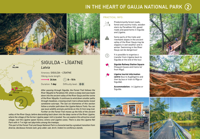
After passing through Sigulda, the Forest Trail follows the River Vējupīte to Paradīzes Hill, where a steep staircase leads down into the ancient valley of the River Gauja and the ravine of the River Vējupīte. It continues to wind down smaller paths through meadows, crossing small rivers whose banks reveal sandstone outcrops. The last six kilometres of this section follow a smaller path down the Līgatne Nature Trails. You can see local wildlife animals and birds on this 5.5 km long trail. Further on the Forest Trail moves up the hills of the ancient valley of the River Gauja, before descending back down into the deep ravine of the River Līgatne, where the village of the former Līgatne paper mill is located. You can explore this attractive small village, visit the Līgatne spoon factory, winery and Līgatne caves. There is also the Līgatne Net Park with 4-7 m high net labyrinths among the treetops. This part of the Forest Trail and Gauja National Park is characterised by a gradual transition from diverse, deciduous forests (ash, grey alder, oak, birch, linden) to coniferous stands. |
 |
Cliffs in Gauja National Park: Cēsis – Valmiera (LV)Cēsis – Caunītes – Valmiera Duration: 2 days Distance: 43 km (13-16 h)
|
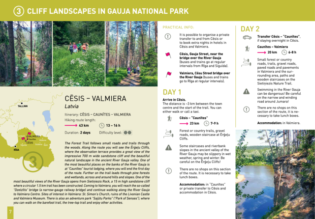
The Forest Trail follows small roads and trails through the woods. Along the route you will see the Ērģeļu Cliffs, where the observation terrace provides a great view of the impressive 700 m wide sandstone cliff and the beautiful natural landscape in the ancient River Gauja valley. One of the most beautiful places on the banks of the River Gauja is at “Caunītes” tourist lodging, where you will end the first day of the route. Further on the trail leads through pine forests and wetlands, across and around hills and slopes. One of the most beautiful views of the River Gauja opens from Sietiņiezis Rock, a 15 m high sandstone cliff where a circular 1.5 km trail has been constructed. Coming to Valmiera, you will reach the so-called “Dzelzītis” bridge (a narrow-gauge railway bridge) and continue walking along the River Gauja to Valmiera Centre. Sites of interest in Valmiera: St. Simon’s Church, ruins of the Livonian Castle and Valmiera Museum. There is also an adventure park “Sajūtu Parks” (“Park of Senses”), where you can walk on the barefoot trail, the tree-top trail and enjoy other activities. |
 |
|
Along the Northern Gauja forests: Valmiera – Strenči (LV) Valmiera – “Jaunarāji” – Brenguļi – Strenči – Valmiera Duration: 2 days Distance: 29 km
|
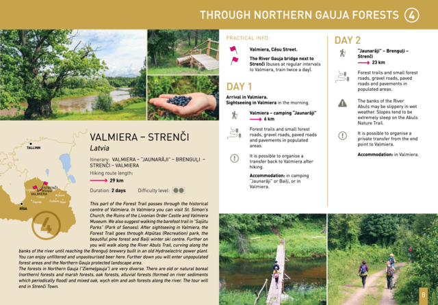
This part of the Forest Trail passes through the historical centre of Valmiera. In Valmiera you can visit St. Simon’s Church, the Ruins of the Livonian Order Castle and Valmiera Museum. We also suggest walking the barefoot trail in “Sajūtu Parks” (Park of Senses). After sightseeing in Valmiera, the Forest Trail goes through Atpūtas (Recreation) park, the beautiful pine forest and Baiļi winter ski centre. Further on you will walk along the River Abuls Trail, curving along the banks of the river until reaching the Brenguļi brewery built in an old Hydroelectric power plant. You can enjoy unfiltered and unpasteurised beer here. Further down you will enter unpopulated forest areas and the Northern Gauja protected landscape area. The forests in Northern Gauja (“Ziemeļgauja”) are very diverse. There are old or natural boreal (northern) forests and marsh forests, oak forests, alluvial forests (formed on river sediments which periodically flood) and mixed oak, wych elm and ash forests along the river. The tour will end in Strenči Town. |
 |
|
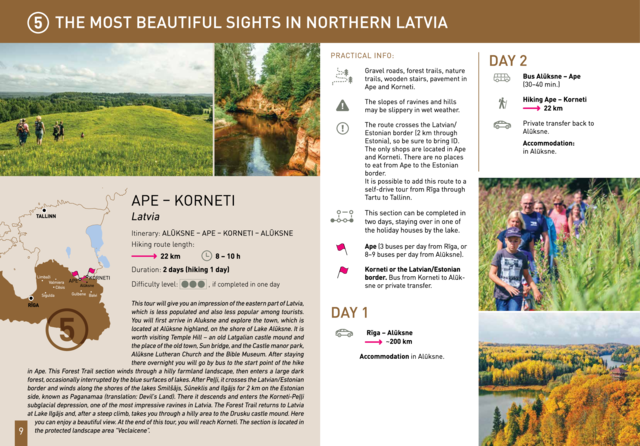
The most beautiful sights of Northern Latvia: Ape – Korneti Alūksne – Ape – Korneti – Alūksne Duration: 2 days Distance: 22 km (8-10 h) |
This tour will give you an impression of the eastern part of Latvia, which is less populated and also less popular among tourists. You will first arrive in Aluksne and explore the town, which is located at Alūksne highland, on the shore of Lake Alūksne. It is worth visiting Temple Hill – an old Latgalian castle mound and the place of the old town, Sun bridge, and the Castle manor park, Alūksne Lutheran Church and the Bible Museum. After staying there overnight you will go by bus to the start point of the hike in Ape. This Forest Trail section winds through a hilly farmland landscape, then enters a large dark forest, occasionally interrupted by the blue surfaces of lakes. After Peļļi, it crosses the Latvian/Estonian border and winds along the shores of the lakes Smilšājs, Sūneklis and Ilgājs for 2 km on the Estonian side, known as Paganamaa (translation: Devil's Land). There it descends and enters the Korneti-Peļļi subglacial depression, one of the most impressive ravines in Latvia. |
 |
|
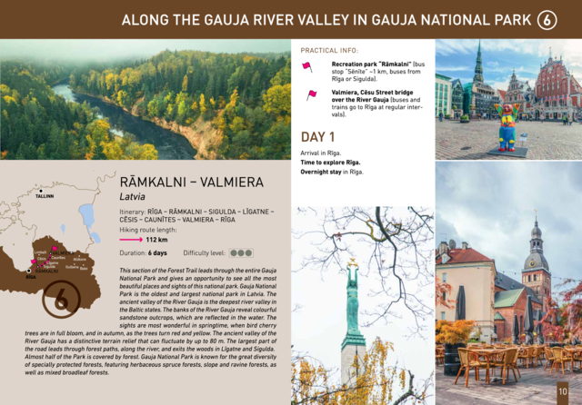
Along the ancient valley of the River Gauja through Gauja National Park: Rāmkalni – Valmiera Rīga – Rāmkalni – Sigulda – Līgatne – Cēsis – Caunītes – Valmiera – Rīga Duration: 6 days Distance: 112 km |
This section of the Forest Trail leads through the entire Gauja National Park and gives an opportunity to see all the most beautiful places and sights of this national park of more than 100 km. Gauja National Park is the oldest and largest national park in Latvia. The ancient valley of the River Gauja is the deepest river valley in the Baltic states. The banks of the River Gauja reveal colourful sandstone outcrops, which are reflected in the water. The sights are most wonderful in springtime, when bird cherry trees are in full bloom, and in autumn, as the trees turn red and yellow. The ancient valley of the River Gauja has a distinctive terrain relief that can fluctuate by up to 80 m. Almost half of the park is covered by forest. Gauja National Park is known for the great diversity of specially protected forests, featuring herbaceous spruce forests, slope and ravine forests, as well as mixed broadleaf forests. |
 |
|
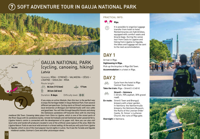
Soft adventure tour in Gauja National Park (LV) (cycling, canoeing, hiking) Riga – Strenči – Valmiera – Cēsis – Līgatne – Sigulda – Riga Duration: 2 days Distance: cycling 84 km (113 km), canoeing 17 km, hiking 30 km (40 km) |
If you enjoy an active lifestyle, then this tour is the perfect way to enjoy the heritage hidden in Gauja National Park, from several different perspectives. Cycling starts at Strenči and passes two local breweries at Brenguļi and Valmiermuiža with nice cafés and good beer. You will hike through beautiful forests and along the Sietiņiezis sandstone cliff towards Cēsis with its charming medieval Old Town. Canoeing takes place from Cēsis to Līgatne, which is one of the nicest parts of the River Gauja with its sandstone banks, remote farmsteads and old fashioned water-powered ferry. Līgatne historic centre is connected with the development of its paper mill. Here you can also visit local wine and handicraft producers located in one of the artificial caves typical of the area. Walk the Līgatne Nature Trails to see local wild animals in a forest setting. At the end you will cycle from Līgatne to Sigulda, which is one of the most popular tourist sights in Latvia. You'll see the Turaida and Sigulda medieval castles, Gutman’s Cave and other picturesque views. |
 |
|
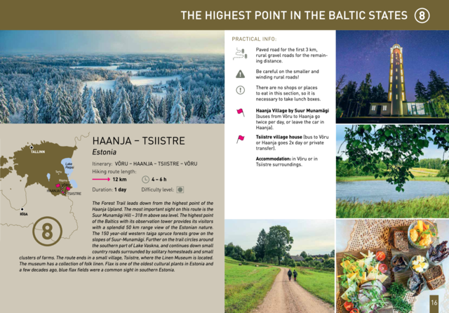
The highest point in the Baltic states: Haanja – Tsiistre (EE) Võru – Haanja – Tsiistre – Võru Duration: 1 day Distance: 12 km (4-6 h) |
The Forest Trail leads down from the highest point of the Haanja Upland. The most important sight on this route is the Suur Munamägi Hill – 318 m above sea level. The highest point of the Baltics with its observation tower provides its visitors with a splendid 50 km range view of the Estonian nature. The 150 year-old western taiga spruce forests grow on the slopes of Suur-Munamägi. Further on the trail circles around the southern part of Lake Vaskna, and continues down small country roads surrounded by solitary homesteads and small clusters of farms. The route ends in a small village, Tsiistre, where the Linen Museum is located. The museum has a collection of folk linen. Flax is one of the oldest cultural plants in Estonia and a few decades ago, blue flax fields were a common sight in southern Estonia. |
 |
|
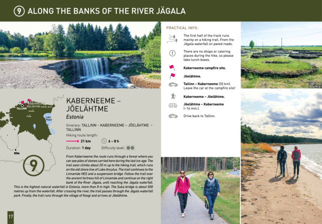
Along the banks of the River Jägala: Kaberneeme ‒ Jõelähtme (EE) Tallinn – Kaberneeme ‒ Jõelähtme – Tallinn Duration: 1 day Distance: 21 km (6-8 h) |
From Kaberneeme the route runs through a forest where you can see piles of stones carried here during the last ice-age. The trail soon climbs about 20 m up to the hiking trail, which runs on the old shore line of Lake Ancylus. The trail continues to the Linnamäe HES and a suspension bridge. Follow the trail over the ancient fortress hill of Linnamäe and continue on the right bank of the River Jägala, until reaching the Jägala waterfall. This is the highest natural waterfall in Estonia, more than 8 m high. The Suka bridge is about 500 metres up from the waterfall. After crossing the river, the trail passes through the Jägala waterfall park. Finally, the trail runs through the village of Koogi and arrives at Jõelähtme. |
 |
|
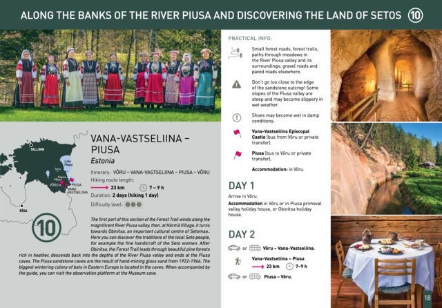
Along the banks of the River Piusa and discovering the Land of Setos: Vana-Vastseliina – Piusa (EE) Võru – Vana-Vastseliina – Piusa – Võru Duration: 2 days Distance: 23 km (7-9 h) |
The first part of this section of the Forest Trail winds along the magnificent River Piusa valley, then, at Härmä Village, it turns towards Obinitsa, an important cultural centre of Setomaa, the Land of Setos. Here you can discover the traditions of the local Seto people, for example the fine handicraft of the Seto women. After Obinitsa, the Forest Trail leads through beautiful pine forests rich in heather, descends back into the depths of the River Piusa valley and ends at the Piusa caves. The Piusa sandstone caves are the result of hand-mining glass sand from 1922-1966. The biggest wintering colony of bats in Eastern Europe is located in the caves. When accompanied by the guide, you can visit the observation platform at the Museum cave. |
 |
|
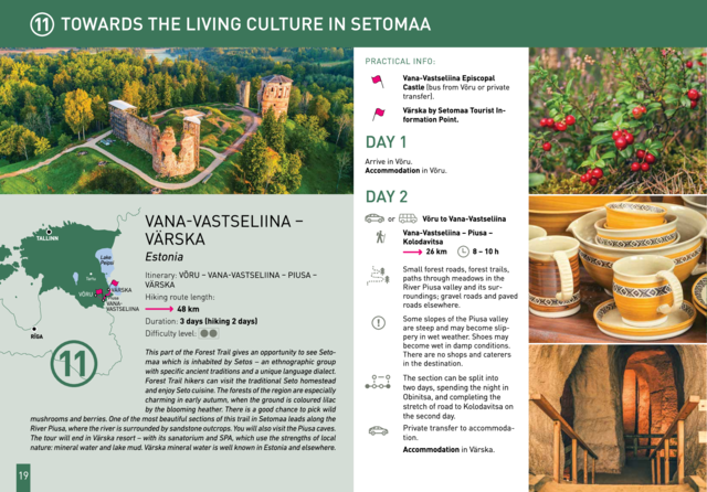
Towards the popular Värska resort: Vana-Vastseliina – Värska Võru – Vana-Vastseliina – Piusa – Värska Duration: 3 days Distance: 48 km |
This part of the Forest Trail gives an opportunity to see Setomaa or “the Land of Setos” which is inhabited by Setos – an ethnographic group with specific ancient traditions and a unique language dialect. Forest Trail hikers can visit the traditional Setos homestead and enjoy Setos cuisine. The forests of the region are especially charming in early autumn, when the ground is coloured lilac by the blooming heather. There is a good chance to pick wild mushrooms and berries. One of the most beautiful sections of this trail in Setomaa leads along the River Piusa, where the river is surrounded by sandstone outcrops. You will also visit the Piusa caves. The tour will end in Värska resort – with its sanatorium and SPA, which use the strengths of local nature: mineral water and lake mud. Värska mineral water is well known in Estonia and elsewhere. |
 |
|
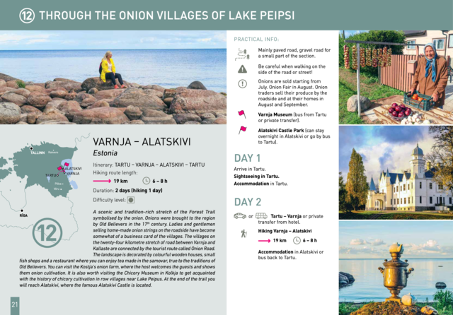
Through the onion villages of Lake Peipsi: Varnja – Alatskivi (EE) Tartu – Varnja – Alatskivi – Tartu Duration: 2 days Distance: 19 km (6-8 h) |
A scenic and tradition-rich stretch of the Forest Trail symbolised by the onion. Onions were brought to the region by Old Believers in the 17th century. Ladies and gentlemen selling home-made onion strings on the roadside have become somewhat of a business card of the villages. The villages on the twenty-four kilometre stretch of road between Varnja and Kallaste are connected by the tourist route called Onion Road. The landscape is decorated by colourful wooden houses, small fish shops and a restaurant where you can enjoy tea made in the samovar, true to the traditions of Old Believers. You can visit the Kostja’s onion farm, where the host welcomes the guests and shows them onion cultivation. It is also worth visiting the Chicory Museum in Kolkja to get acquainted with the history of chicory cultivation in row villages near Lake Peipus. At the end of the trail you will reach Alatskivi, where the famous Alatskivi Castle is located. |
 |
|
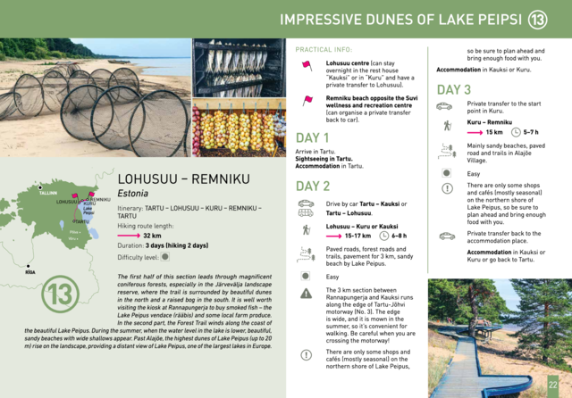
Impressive dunes of Lake Peipsi: Lohusuu – Remniku (EE) Tartu – Lohusuu – Kuru – Remniku – Tartu Duration: 3 days Distance: 32 km
|
The first half of this section leads through magnificent coniferous forests, especially in the Järvevälja landscape reserve, where the trail is surrounded by beautiful dunes in the north and a raised bog in the south. It is well worth visiting the kiosk at Rannapungerja to buy smoked fish – the Lake Peipus vendace (rääbis) and some local farm produce. In the second part, the Forest Trail winds along the coast of the beautiful Lake Peipus. During the summer, when the water level in the lake is lower, beautiful, sandy beaches with wide shallows appear. Past Alajõe, the highest dunes of Lake Peipus (up to 20 m) rise on the landscape, providing a distant view of Lake Peipus, one of the largest lakes in Europe. |
 |
|
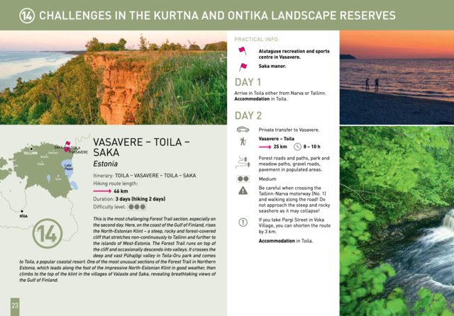
Challenges in the Kurtna and Ontika landscape reserves: Vasavere – Toila – Saka (EE) Toila – Vasavere – Toila – Saka Duration: 3 days Distance: 46 km |
This is the most challenging Forest Trail section, especially on the second day. Here, on the coast of the Gulf of Finland, rises the North-Estonian Klint – a steep, rocky and forest-covered cliff that stretches non-continuously to Tallinn and further to the islands of West-Estonia. The Forest Trail runs on top of the cliff and occasionally descends into valleys. It crosses the deep and vast Pühajõgi valley in Toila-Oru park and comes to Toila, a popular coastal resort. One of the most unusual sections of the Forest Trail in Northern Estonia, which leads along the foot of the impressive North-Estonian Klint in good weather, then climbs to the top of the klint in the villages of Valaste and Saka, revealing breathtaking views of the Gulf of Finland. |
 |
|
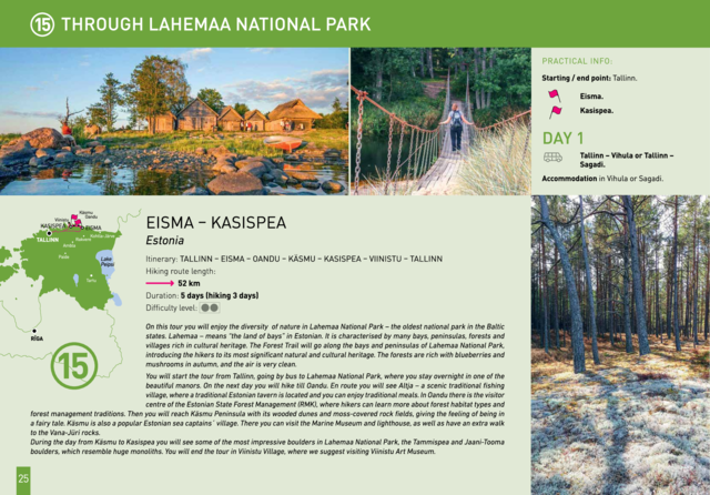
Through Lahemaa National Park: Eisma – Kasispea (EE) Tallinn – Eisma – Oandu – Käsmu – Kasispea – Viinistu – Tallinn Duration: 5 days Distance: 52 km |
On this tour you will enjoy the diversity of nature in Lahemaa National Park – the oldest national park in the Baltic states. Lahemaa – means “the land of bays” in Estonian. It is characterised by many bays, peninsulas, forests and villages rich in cultural heritage. The Forest Trail will go along the bays and peninsulas of Lahemaa National Park, introducing the hikers to its most significant natural and cultural heritage. The forests are rich with blueberries and mushrooms in autumn, and the air is very clean. You will start the tour from Tallinn, going by bus to Lahemaa National Park, where you stay overnight in one of the beautiful manors. On the next day you will hike till Oandu. En route you will see Altja – a scenic traditional fishing village, where a traditional Estonian tavern is located and you can enjoy traditional meals. In Oandu there is the visitor centre of the Estonian State Forest Management (RMK), where hikers can learn more about forest habitat types and forest management traditions. Then you will reach Käsmu Peninsula with its wooded dunes and moss-covered rock fields, giving the feeling of being in a fairy tale. |
 |
|
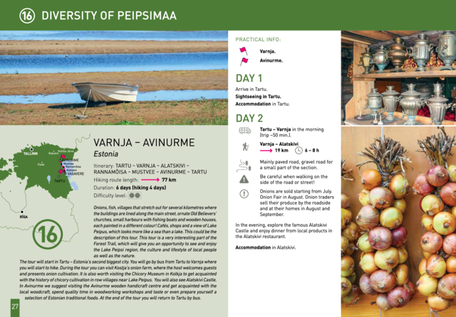
Diversity of Peipsimaa: Varnja – Avinurme (EE) Tartu – Varnja – Alatskivi – Rannamõisa – Mustvee – Avinurme – Tartu Duration: 6 days Distance: 77 km |
Onions, fish, villages that stretch out for several kilometres where the buildings are lined along the main street, ornate Old Believers' churches, small harbours with fishing boats and wooden houses, each painted in a different colour! Cafés, shops and a view of Lake Peipus, which looks more like a sea than a lake. This could be the description of this tour. This tour is a very interesting part of the Forest Trail, which will give you an opportunity to see and enjoy the Lake Peipsi region, the culture and lifestyle of local people as well as the nature. |
 |
|
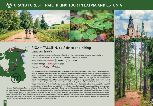
Grand Forest Trail hiking tour in Latvia and Estonia: Riga – Tallinn, self-drive and hiking (LV/EE) Rīga – Sigulda – Līgatne – Āraiši – Cēsis – Valmiera – Tartu – Kuremäe – Vasavere – Rakvere – Altja – Oandu – Käsmu – Kolga – Tallinn Duration: 10 days Distance: ~68 km; driving: ~630 km |
This grand hiking tour includes some of the best and most beautiful parts of the Forest Trail in Latvia and Estonia. Hikes in the forest trails and villages are combined with trips and excursions in cities, as well as other popular tourist sights in both countries. You will get a detailed impression about the forest diversity and most popular national parks in Latvia and Estonia. You will start the tour in Riga, where you will enjoy the beautiful Old Town included in the UNESCO and Art Nouveau District. Then you will drive to Sigulda and see the most scenic ancient valley of the River Gauja, visit Turaida Museum Reserve, hike in Gauja National Park till the historic Ligatne papermill village. Further on you will visit the famous Lake Āraiši Castle, hike on the Cirulisi nature trails and see the beautiful medieval town of Cesis. On the way to Estonia you will stop at the Sietiņiezis big sandstone cliff to have picturesque views of the River Gauja. Then you will stay in Estonia’s second biggest city – Tartu, and visit the recently opened Estonian National Museum. |
 |
|
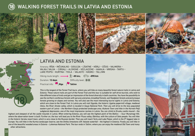
Walking forest nature trails in Latvia and Estonia Rīga – Inčukalns – Sigulda – Līgatne – Kārļi – Cēsis – Valmiera – Valka / Valga – Cirgaļi – Alūksne – Veclaicene – Haanja – Värska – Tartu – Lake Peipsi – Kurtna – Toila – Valaste – Käsmu – Tallinn Duration: 12 days Distance: ~85 km; driving: ~890 km |
This is the longest of the Forest Trail tours, where you will hike on many beautiful forest nature trails in Latvia and Estonia. These nature trails are part of the Forest Trail and this tour is suitable for self-drive tourists, who wish to hike different sizes of trails and get an impression of the forest diversity in both countries. You have the possibility to see the northern coniferous forests with spruces and pines, broadleaf forests, wet floodplain forests and picturesque forests growing on slopes and ravines. You will also see the most interesting tourist sights in Latvia and Estonia, which are close to the Forest Trail. In Latvia you will visit Sigulda, the historic Ligatne papermill village, medieval Cesis, the River Amata valley, which is located in Gauja National Park. Then you will drive to the less populated eastern part of Latvia – the Northern Gauja protected landscape area, Aluksne Town and hike in the Korneti-Peļļi subglacial depression, one of the most impressive ravines in Latvia. You can climb to Drusku castle mound – the highest and steepest of all the castle mounds in Latvia, When entering Estonia, you will see the highest point of the Baltics – Suur Munamagi Hill, where the observation tower is built. Further on the tour will lead you to the River Piusa valley, Obinitsa, with the culture of Seto people. You will hike in the historic Varska resort town, which is very close to the Russian border. Then you will reach Tartu and Lake Peipsi, which is the 5th biggest lake in Europe. |
 |
|
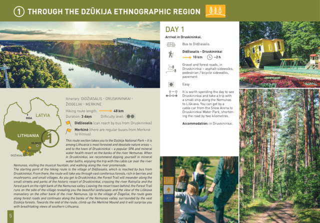
Through the Dzūkija Ethnographic region Didžiasalis - Druskininkai - Žiogeliai - Merkinė Duration: 3 days Distance: 48 km |
This route section takes you to the Dzūkija National Park – it is among Lithuania’s most forested and desolate nature areas –, and to the town of Druskininkai – a popular SPA and mineral water health resort on the banks of the river Nemunas. When in Druskininkai, we recommend dipping yourself in mineral water baths, enjoying the trip with the cable car over the river Nemunas, visiting the musical fountain, and walking along the river promenade. The starting point of the hiking route is the village of Didžiasalis, which is reached by bus from Druskininkai. From there, the route will take you through vast coniferous forests, rich in berries and mushrooms, and small villages. As you get to Druskininkai, the Forest Trail will meander along the small streets and parks of the historic resort of Druskininkai, crossing the river Ratnyčia and the forest park on the right bank of the Nemunas valley. Leaving the resort town behind, the Forest Trail runs on the side of the village revealing you the beautiful landscapes and the view of the Liškiava monastery on the other bank of the river Nemunas. Up to the village of Žiogeliai, the route goes along forest roads and continues along the banks of the Nemunas valley, surrounded by the vast Dzūkija forests. Towards the end of the route, climb up the Merkinė Mound and it will surprise you with breathtaking views of southern Lithuania. |
 |
|
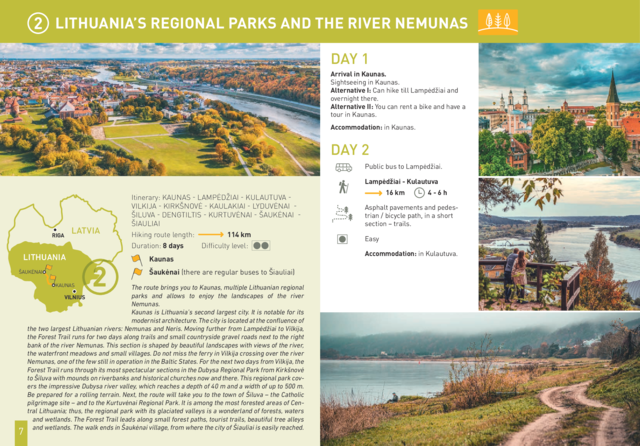
Lithuania’s regional parks and the river Nemunas Kaunas - Lampėdžiai - Kulautuva - Vilkija - Kirkšnovė - Kaulakiai - Lyduvėnai - Šiluva - Dengtiltis - Kurtuvėnai - Šaukėnai - Šiauliai Duration: 8 days Distance: 114 km |
The route brings you to Kaunas, multiple Lithuanian regional parks and allows to enjoy the landscapes of the river Nemunas. Kaunas is Lithuania’s second largest city. It is notable for its Be prepared for a rolling terrain. Next, the route will take you to the town of Šiluva – the Catholic pilgrimage site – and to the Kurtuvėnai Regional Park. It is among the most forested areas of Central Lithuania; thus, the regional park with its glaciated valleys is a wonderland of forests, waters and wetlands. The Forest Trail leads along small forest paths, tourist trails, beautiful tree alleys and wetlands. The walk ends in Šaukėnai village, from where the city of Šiauliai is easily reached. |
 |
|
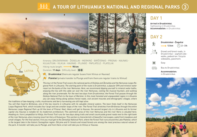
A tour of Lithuania’s national and regional parks Druskininkai - Žiogeliai - Merkinė - Birštonas - Prienai - Kaunas - Kulautuva - Vilkija - Kaunas - Plungė - Paplatelė - Plateliai Duration: 11 days Distance: 98 km |
This tour of the Forest Trail covers the national parks of Dzūkija and Žemaitija and the Nemunas Loops Regional Park in Lithuania. The starting point of the route is Druskininkai, a popular SPA and mineral water resort on the banks of the river Nemunas. Here, we recommend dipping yourself in mineral water baths, enjoying the trip with the cable car over the river Nemunas, visiting the musical fountain, and walking along the river promenade. For the next two days from Druskininkai, the Forest Trail passes through the Dzūkija National Park to the town of Merkinė. In this most forested and unpopulated region in Lithuania you can enjoy hiking along solitary forest roads, visit ancient mounds and ethnographic villages, where the traditions of bee-keeping, crafts, mushrooms and berry harvesting are still kept alive. You will then head to Birštonas, one of the key resorts in Lithuania with its valuable mineral waters. The town finds itself in the Nemunas Loops Regional Park, which includes four large and one smaller loops of the river. The Forest Trail stretches from Birštonas through the entire Nemunas Loops Regional Park up till the town of Prienai. Next, hikers will get to Kaunas, the second largest city in Lithuania and its former capital city. Kaunas is notable for its modernist architecture. The catchment area of the river Nemunas and the river Neris is situated here. |
 |
|
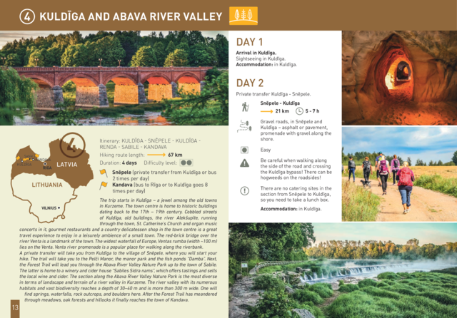
Kuldīga and Abava River valley Kuldīga - Snēpele - Kuldīga - Renda - Sabile - Kandava Duration: 4 days Distance: 67 km |
The trip starts in Kuldīga – a jewel among the old towns in Kurzeme. The town centre is home to historic buildings A private transfer will take you from Kuldīga to the village of Snēpele, where you will start your hike. The trail will take you to the Pelči Manor, the manor park and the fish ponds “Damba”. Next, the Forest Trail will lead you through the Abava River Valley Nature Park up to the town of Sabile. The latter is home to a winery and cider house “Sabiles Sidra nams”, which offers tastings and sells the local wine and cider. The section along the Abava River Valley Nature Park is the most diverse in terms of landscape and terrain of a river valley in Kurzeme. The river valley with its numerous habitats and vast biodiversity reaches a depth of 30–40 m and is more than 300 m wide. One will find springs, waterfalls, rock outcrops, and boulders here. After the Forest Trail has meandered through meadows, oak forests and hillocks it finally reaches the town of Kandava. |
 |
|
From Tukums to the coast through the Ķemeri National Park Jaunmokas - Tukums - Milzkalne – Lake Valguma - Ķemeri - Bigauņciems Duration: 3 days Distance: 57 km / 50 km |
The tour starts at Jaunmokas Castle estate, where you will also find the Forest Museum. The pride of the castle is its unique painted tile stove (beginning of the 20th century) made of 130 painted tiles featuring 50 different views of the cities Rīga and Jūrmala. The Forest Trails runs along smaller tracks through the Austrumkursa Uplands, the valley of the river Slocene, along Lake Sekļa and Lake Jumprava to finally reach the town of Tukums. Well, the town takes pride in its pots, planters and flower beds with blooming roses along its streets. Next, the route meanders through forests to the demanding hillock of Milzkalns and Lake Valguma, where you will find the barefoot trail and a secluded art space within the woods. The Forest Trail continues to make a stopover at the Ķemeri National Park. The park is dedicated to protection of wetlands, since it is home to one of the largest marshlands of Latvia – the Great Ķemeri bog. As to the town – Ķemeri – it is the former balneological and sulphur springs resort. The tour ends in the village of Bigauņciems, where the Forest Trail joins with the Baltic Coastal Hiking Route (E9 European long distance path). Optionally, one can take a detour along the Lake Sloka trail with its bird-watching tower or pay a visit to the “Forest House” – the visitor’s centre of the Ķemeri National Park. | 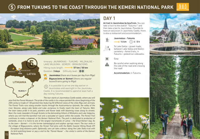 |
|
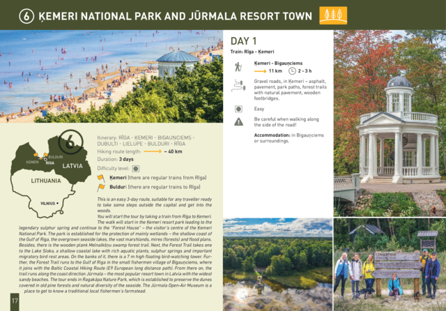
Ķemeri National park and Jūrmala resort town Rīga - Ķemeri - Bigauņciems - Dubulti - Lielupe - Bulduri - Rīga Duration: 3 days Distance: 40 km |
This is an easy 3-day route, suitable for any traveller ready to take some steps outside the capital and get into the You will start the tour by taking a train from Rīga to Ķemeri. The walk will start in the Ķemeri resort park leading to the legendary sulphur spring and continue to the “Forest House” – the visitor’s centre of the Ķemeri National Park. The park is established for the protection of mainly wetlands – the shallow coast of the Gulf of Riga, the overgrown seaside lakes, the vast marshlands, mires (forests) and flood plans. Besides, there is the wooden plank Melnalkšņu swamp forest trail. Next, the Forest Trail takes one to the Lake Sloka, a shallow coastal lake with rich aquatic plants, sulphur springs and important migratory bird rest areas. On the banks of it, there is a 7 m high floating bird-watching tower. Fur- ther, the Forest Trail runs to the Gulf of Riga in the small fishermen village of Bigauņciems, where it joins with the Baltic Coastal Hiking Route (E9 European long distance path). From there on, the trail runs along the coast direction Jūrmala – the most popular resort town in Latvia with the widest sandy beaches. The tour ends in Ragakāpa Nature Park, which is established to preserve the dunes covered in old pine forests and natural diversity of the seaside. The Jūrmala Open-Air Museum is a place to get to know a traditional local fishermen’s farmstead. |
 |
|
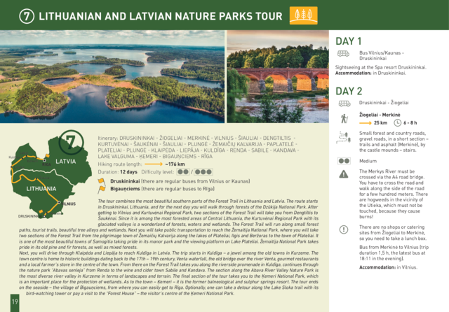
Lithuanian and Latvian nature parks tour Druskininkai - Žiogeliai - Merkinė - Vilnius - Šiauliai - Dengtiltis - Kurtuvėnai - Šaukėnai - Šiauliai - Plungė - Žemaičių Kalvarija - Paplatelė - Plateliai - Plungė - Klaipėda - Liepāja - Kuldīga - Renda - Sabile - Kandava - Lake Valguma - Ķemeri - Bigauņciems - Rīga Duration: 12 days Distance: 176 km |
The tour combines the most beautiful southern parts of the Forest Trail in Lithuania and Latvia. The route starts in Druskininkai, Lithuania, and for the next day you will walk through forests of the Dzūkija National Park. After getting to Vilnius and Kurtuvėnai Regional Park, two sections of the Forest Trail will take you from Dengtiltis to Šaukėnai. Since it is among the most forested areas of Central Lithuania, the Kurtuvėnai Regional Park with its glaciated valleys is a wonderland of forests, waters and wetlands. The Forest Trail will run along small forest paths, tourist trails, beautiful tree alleys and wetlands. Next you will take public transportation to reach the Žemaitija National Park, where you will take two sections of the Forest Trail from the pilgrimage town of Žemaičių Kalvarija along the lakes of Plateliai, Ilgis and Beržoras to the town of Plateliai. It is one of the most beautiful towns of Samogitia taking pride in its manor park and the viewing platform on Lake Plateliai. Žemaitija National Park takes pride in its old pine and fir forests, as well as mixed forests. Next, you will drive through Klaipėda and Liepāja to reach Kuldīga in Latvia. The trip starts in Kuldīga – a jewel among the old towns in Kurzeme. The town centre is home to historic buildings dating back to the 17th – 19th century, Venta waterfall, the old bridge over the river Venta, gourmet restaurants and a local farmer’s store in the centre of the town. From there on the Forest Trail takes you along the riverside promenade in Kuldīga, continues through the nature park “Abavas senleja” from Renda to the wine and cider town Sabile and Kandava. The section along the Abava River Valley Nature Park is the most diverse river valley in Kurzeme in terms of landscapes and terrain. The final section of the tour takes you to the Ķemeri National Park, which is an important place for the protection of wetlands. As to the town – Ķemeri – it is the former balneological and sulphur springs resort. The tour ends on the seaside – the village of Bigauņciems, from where you can easily get to Rīga. Optionally, one can take a detour along the Lake Sloka trail with its bird-watching tower or pay a visit to the “Forest House” – the visitor’s centre of the Ķemeri National Park. |
 |
|
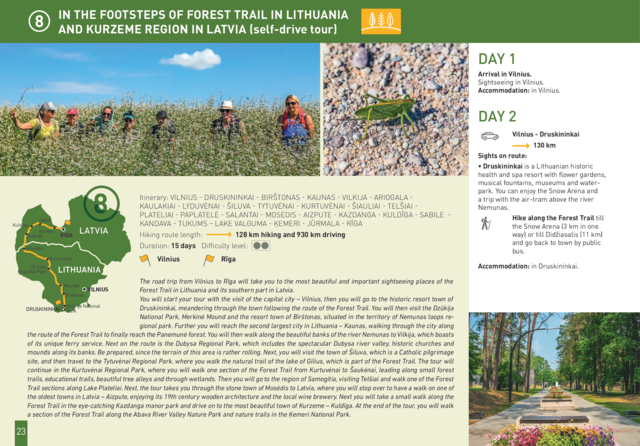
In the footsteps of Forest Trail in Lithuania and Kurzeme Region in Latvia (self-drive tour) Vilnius - Druskininkai - Birštonas - Kaunas - Vilkija - Ariogala - Kaulakiai - Lyduvėnai - Šiluva - Tytuvėnai - Kurtuvėnai - Šiauliai - Telšiai - Plateliai - Paplatelė - Salantai - Mosėdis - Aizpute - Kazdanga - Kuldīga - Sabile - Kandava - Tukums – Lake Valguma - Ķemeri - Jūrmala - Rīga Duration: 15 days Distance: 128 km hiking, 930 km driving |
The road trip from Vilnius to Rīga will take you to the most beautiful and important sightseeing places of the Forest Trail in Lithuania and its southern part in Latvia. |
 |
|
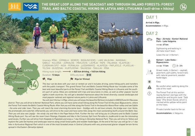
Rīga - Jūrmala - Ķemeri - Bigauņciems – Lake Valguma - Kandava - Sabile - Kuldīga - Jūrkalne - Pāvilosta - Liepāja - Pape - Palanga - Klaipėda - Curonian Spit - Nida - Pervalka - Juodkrantė - Klaipėda - Paplatelė - Plateliai - Telšiai - Buožėnai - Kurtuvėnai - Šaukėnai - Šiauliai - Rīga Duration: 13 days Distance: ~825 km driving, ~140 km hiking |
This tour can be done with your own or rented car and it includes driving, some hiking parts and transfers with the public transport. This grand Forest Trail and Baltic Coastal Hiking Route tour includes some of the best and most beautiful parts of the Forest Trail and Baltic Coastal Hiking Route in Lithuania and the southern part of Latvia. Hikes are combined with trips and excursions in cities, as well as other popular tourist sights in both countries. You will get a detailed impression about the forest diversity, coastal landscape and most popular national and regional nature parks in Latvia and Lithuania. |
 |
|
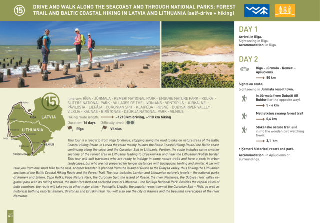
Rīga - Jūrmala - Ķemeri National Park - Engure Nature Park - Kolka - Slītere National Park - Villages Of The Livonians - Ventspils - Jūrkalne - Pāvilosta - Liepāja - Curonian Spit - Klaipėda - Rusnė - Dubysa River Valley - Vilkija - Kaunas - Birštonas - Dzūkija National Park - Vilnius Duration: 16 days Distance: 1210 km driving, 110 km hiking |
This tour is a road trip from Rīga to Vilnius, stopping along the road to hike on nature trails of the Baltic Coastal Hiking Route. In Latvia the route mainly follows the Baltic Coastal Hiking Route/ the Baltic coast, continuing along the coast and the Curonian Spit in Lithuania. Further, the route includes some smaller sections of the Forest Trail in Lithuania leading to Druskininkai and near the Lithuanian/Polish border. This tour will suit travellers who are ready to indulge in some nature trails and have a peek in urban landscapes, but who are not prepared for longer distances with backpacks, tenting and similar. A car will take you from one short hike to the next. Another transfer is planned from the island of Rusnė to the Dubysa valley, thus linking the Lithuanian sections of the Baltic Coastal Hiking Route and the Forest Trail. The tour includes Latvian and Lithuanian nature’s jewels – the national parks of Ķemeri and Slītere, Cape Kolka, Pape Nature Park, the Curonian Spit, the island of Rusnė, the river Nemunas, the Dubysa river valley regional park with its rolling terrain, the most forested and secluded area of Lithuania – the Dzūkija National Park. Besides the capital cities of both countries, the route will take you to other major cities – Ventspils, Liepāja, the popular resort town of the Curonian Spit – Nida, as well as historical bathing resorts: Ķemeri, Birštonas and Druskininkai. You will also see the city of Kaunas and the beautiful riverscapes of the river Nemunas. |
 |


