66. päev. Juodkrantė – Klaipėda.
 Vaatamisväärsused
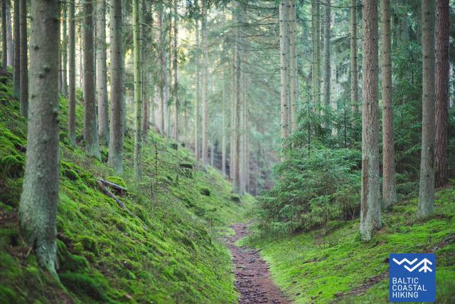
1. Dendrologischer Weg (Bloksberg-Promenade) Im 19. Jh. erstellte Promenade war ein beliebter Ort für Spaziergänge im historischen Kurort Juodkrantė. Auf Grund der Artenvielfalt von importierten Pflanzen wurde der Weg auch dendrologisch genannt.
GPS: 55.54725, 21.11867
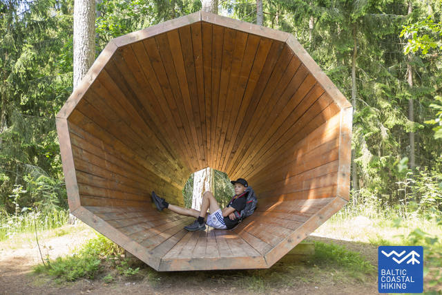
2. Geräuschfalle. Um den alltäglichen Sorgen zu entfliehen und die Geräusche des Waldes aufzunehmen, wird die Schallfalle, installiert im alten Wald der Juodkrantė behilflich sein. GPS: 55.55486, 21.12006
3. Bloksberg (Raganos) kalnas (dt. Hexen Berg). Dieser Ort ist von Legenden und Mystik umgeben und schafft dadurch zauberhafte Eindrücke und Stimmungen.Von dieser Düne aus, war es möglich - die ganze Kurische Nehrung mit bloßem Auge zu erfassen. Auf der Spitze ist neuerdings der Leuchtturm von Juodkrantė eingerichtet worden.
GPS: 55.55645, 21.11589
4. Ginataro įlanka (dt. Bernsteinbucht). Im 19. Jh. wurde hier Bernstein abgebaut.
GPS: 55.55236, 21.12670
5. Verteidigungskomplex Alksnynė. Das ist eine Verteidigungsanlage, die um die Stadt Klaipeda während des Zweiten Weltkriegs von den Deutschen gebaut wurde, um vor sowjetischen Luftangriffen und Artilleriebeschüsse zu schützen. GPS: 55.65707, 21.12422
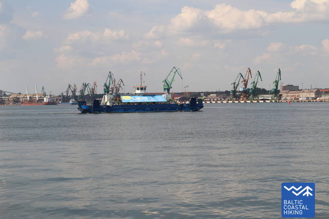
6. Kiaulės nugaros sala (dt. Schweinerückeninsel) und „Independence. Sie ist die einzige Insel auf der Kurischen Nehrung. Im Jahr 2014 wurde zu der Insel ein Terminal-Schiff-Lager des Flüssiggas “Independence” errichtet. GPS: 55.66217, 21.13723
7. Meeresmuseum. In einer Festung am Ende der Dünen gewährt das eingerichtete Museum einen Blick auf die Bewohner der Ostsee und der anderen Meere.
GPS: 55.71660, 21.09975
8. Burgplatz von Klaipėda. Hier begann im Jahr 1252 die Geschichte der Stadt Klaipėda. In den Kellern des Burgplatzes laden die historischen Expositionen die Besucher in eine vergangene Welt ein. GPS: 55.70555, 21.12946
9. Altstadt von Klaipėda. In der Altstadt von Klaipėda gibt es reichlich Fachwerkhäusern und gut erhaltene Verteidigungsanlagen aus dem 17.- 18. Jahrhundert zu sehen.
GPS: 55.70869, 21.13324.
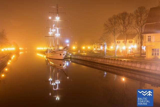
10. Biržos tiltas (dt. Brücke der Börse) und „Meridianas“. Das hölzerne Segelschiff "Meridianas" ist bereits zu einem Symbol der Stadt Klaipėda geworden.
GPS: 55.71007, 21.13347
Weitere Sehenswürdigkeiten in Klaipėda:
www.klaipedatravel.lt


