


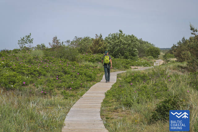
Päev 64. Nida – Pervalka. The Curonian spit.
64. päev. Nida – Pervalka.
Vaatamisväärsused
 Vaatamisväärsused
Tel.: +370 46952260 |
|
|
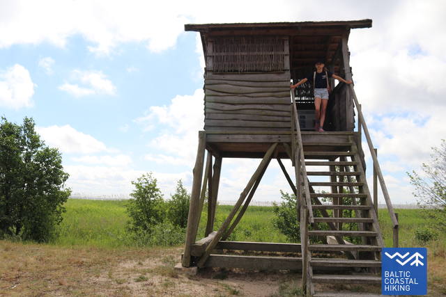
You can find as many as 6 bird watching towers built near the lagoon to help you watch the waterbirds.
|
|
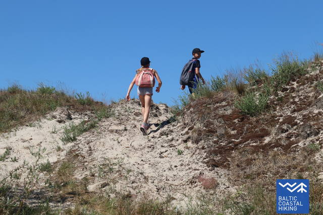
At the height of 67 meters, Vecekrugas Dune is the highest spot in the Curonian Spit. The observation deck on the top of the dune provides beautiful views of the sea and the lagoon. |
|
Steps to reach the Preila Dune presenting some of the most picturesque views of the lagoon were built in 2020. |
A historical display and exhibition hall are located in the recently renovated house of F. Labrenz, Senior Specialist of Preila. |
|
Goat Cape is the favorite resting spot of cormorants and other waterbirds. |
|
|
Long ago, the shifting sand buried the Village of Karvaičiai underneath it. The Dune was tamed with the help of mountain pines. Mesmerizing views of the lagoon can be seen from the top of the Dune. |
|
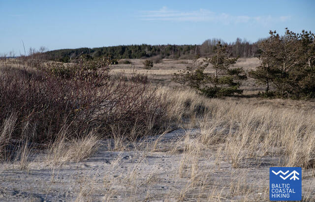
Nida rand ja luited on sügisel ja kevadel hea koht, kus jälgida nii mere- kui ka maismaalindude rännet. Nida lähistel võib näha Lätile ebatüüpilist rannikumaastikku – omapärast kivist rannalõiku, mida peetakse geoloogiliseks ja geomorfoloogiliseks loodusmälestiseks. Linnud, keda võib siin kohatakevadel ja suvel viibivad selles piirkonnas soo-loorkull, sooräts, kiivitaja, võsa-ritsiklind, jõgi-ritsiklind, suurkoovitaja. Kevadel ja sügisel toituvad niitudel paljud õõnetuvid, vainurästad, hallrästad ja rüüdad. Pesitsusajal saab suvel vaadelda koldvinte, hallõgijaid, Euroopa kaelustäkse ja kuldhänilasi. Pesitsusvälisel ajal jahivad niitudel saaki röövlinnud, näha saab ka Nida soos pesitsevaid tetresid. LoodusgiidRitvars Rekmanis Tel +371 2825 6131 |

1. Memorialmuseum des Schriftstellers Thomas Mann, sowie Aufsichtsplatz "Italienischer Ausblick". +370 46952260; GPS: 55.31347, 21.01348
2. Vogelbeobachtungstürme.
An der Küste gibt es 6 Türme, von denen aus die Wasservögel bequem zu beobachten sind.
GPS: 55.32539, 21.04481; 55.33864, 21.05273; 55.38689, 21.07446; 55.39228, 21.07644; 55.40183, 21.09359
3. Vecekrugas-Düne. Die 67 m hohe Düne ist die höchste Stelle auf der Kurischen Nehrung. Auf der Spitze der Düne ist ein Aufsichtsplatz eingerichtet, von dem sich ein schöner Ausblick auf das Meer und das Haff eröffnet. GPS: 55.35455, 21.03911
4. Düne von Preila. Im Jahr 2020 m. wurde eine Treppe zur der Düne von Preila eingerichtet. Hier öffnet sich dem Betrachter eine der schönsten Panoramablicke auf die Nehrung und das Haff.
GPS: 55.36835, 21.05298
5. Haus des F. Labrenzo. Das rekonstruierte Haus des ehemaligen Ältesten von Preila F. Labrenzo verfügt über eine historische Exposition und einen Ausstellungsraum.
GPS: 55.36927, 21.05894
6. Ožkų ragas (dt. Ziegen - Horn). Es ist ein beliebter Rastplatz der Kormorane und anderer Wasservögel.
GPS: 55.38426, 21.07872
7. Karvaičių kopa. (dt. Düne der Karweiten). Die Sanddüne, die das Dorf Karvaičiai begrub, wurde durch die Bepflanzung mit Kiefern „gezähmt“. Die Landschaft des Haffs öffnet sich von der Spitze der Düne wieder. GPS: 55.38870, 21.06471
8. Skirpsto-Düne. GPS: 55.409301, 21.074855