Baltic Coastal Hiking trail - Curonian lagoon
Coastline of Curonian lagoon
Coastal landscapes, fishing villages and Klaipėda
Ventė – Dreverna – Klaipeda: 50 km, 2 days.
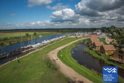
Ventė Cape is home to an ornithological station with a small lighthouse, from which the waters of the Curonian Lagoon can be seen. Tourism infrastructure is developing in the coastal towns as this is a popular wind-surfing location. The Baltic Coastal Hiking Route winds through Dreverna, a former fishing village with a marina and camp site. For the next 10 km the trail follows an industrial heritage site — King Wilhelm Canal built in the 1860s and 1870s and named in honour of then reigning German Emperor Wilhelm I. From Klaipėda hikers can take a ferry to the Curonian Spit where the popular Sea Museum and Dolphinarium is located. Klaipėda (historically called Memel) was once part of East Prussia and was thus influenced by German culture. Klaipėda old town is unique with the geometrical precision of its planning with all intersections being perfect right angles.
 Section 72. Ventė – Dreverna.
Along the eastern coast of the Curonian Lagoon
From the Ventė Cape the Baltic Coastal Hiking Route goes down Marių Street (Road No. 2201) towards Klaipėda. The coastal scenery comes to life with colourful buildings featuring abundant wood decorations. Some of these house accommodation and catering establishments. After 5 km, the trail turns off towards the Curonian Lagoon and continues on along a narrow coastal trail through a mire forest. There are rest spots and watchtowers providing beautiful views of the Curonian sand dunes about 8–10 km away. Having made a loop of about 3 km, the Baltic Coastal Hiking Route returns to its previous course, and reaches the centre of the Village of Kintai in about 2 km, where it is worth taking the time to see its architectural heritage. After Kintai, the Baltic Coastal Hiking Route leads through 5 km of beautiful, pine covered dunes. 3 km before the Village of Dreverna the trail crosses Svencelė, Lithuania’s most popular wind-surfing and kite-surfing locale. The place is bustling with resort development as new, alternative tourist accommodations, camp sites and catering establishments are being built. In the Village of Dreverna, the trail turns off on Bangų Street. It is worth going down to the Dreverna port, from where the majestic Curonian Spit can be seen across the Curonian Lagoon.
 Section 73. Dreverna – Klaipėda.
Along King Wilhelm Canal to Klaipėda
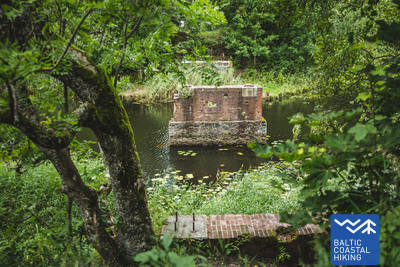
From the Village of Dreverna, the Baltic Coastal Hiking Route follows the Priekulė Road (No. 2206) to cross the Dreverna River, the Klišupė River and the King Wilhelm Canal, after which it turns off to the left, and for the next 9 km it leads through a lush tree-lined lane along the eastern bank of the historical canal. Along the way there are various rest spots and tourist information stands explaining the diversity of the local natural environment. The trail reaches Kairių Street 4 km later, and the next section of the trail leads through an urban area. From Jūrininkų Prospektas to Baltijos Prospektas, the Baltic Coastal Hiking Route leads through city parks, crossing the footpaths of Reform Movement (Sąjūdžio), Reykjavík, Friendship (Draugystės) and other parks. Having crossed Baltijos Prospektas, the trail follows the pedestrian lanes of Taikos Prospektas, reaching Birža Bridge 3 km later.


