


Baltischer Wald-Wanderweg
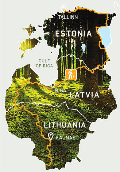
Der Wald-Wanderweg ist ein Fernwanderweg, Teil der E11, in den baltischen Staaten, der durch die waldreichsten Gebiete, regional, Natur und Nationalparks Litauens, Lettlands und Estlands führt. Die Route beginnt an der polnisch-litauischen Grenze bei der Stadt Lazdijai, führt durch Lettland und Riga und endet in Tallinn, Estland.
Name in Litauen: Mežtaka
Name in Lettland: Miško takas
Name in Estland: Metsa matkarada
Länge: 2141 km, Dauer: 102-114 Tage
• in Litauen – 747 km, 36-38 Tage
• in Lettland – 674 km, 31-38 Tage
• in Estland – 720 km, 35-38 Tage
Die Strecke ist in etwa 20 km langen Ein- oder Zweitagesabschnitten eingeteilt mit Übernachtungs- und Transportmöglichkeiten entlang der Route.
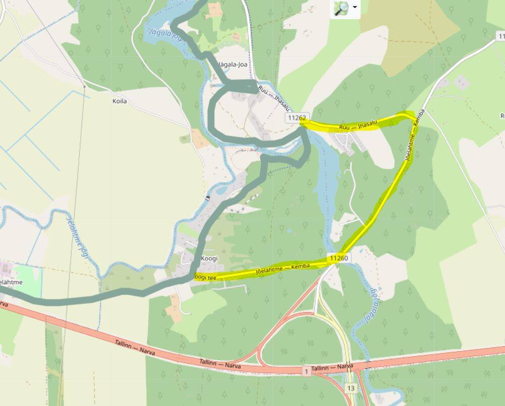
Straßenbelag: Asphaltstraße, Schotterstraße, unbefestigte Straße, Wanderweg, Gehwege, Holzwege, Sand-, Kies- und Felsstrände. Genauere Beschreibung siehe hier.
Höchste Punkte und Täler:
In Litauen: Nemunas-Tal, Samogitian (Žemaitija) Hochland
In Lettland: Rietumkursa-Hochland, historisches Tal von Abava- und Gauja, Veclaicene Hochland in Nord-Lettland
In Estland: Suur Munamägi (318 m über dem Meeresspiegel) Piusa historische Tal, Nordküste von Estland
Höhepunkte:
In Litauen: Nationalpark Dzūkija und Žemaitija, Regionalpark Nemunas Loop, Kaunas.
In Lettland: Kuldiga, Naturpark Abava-Tal, Nationalpark Kemeri, Nationalpark Gauja, Veclaicene Landschaftsschutzgebiet, Riga Altstadt.
In Estland: Nationalpark Lahemaa, Nationalpark Alutaguse, Suur Munamägi, Peipussee - der viertgrößte See Europas, Tallinn Altstadt.


The contents of this web page are the sole responsibility of the project partners and can under no circumstances be regarded as reflecting the position of the European Union.

