


Atkarpa 6. Līgatne - Cēsis. Gaujos nacionalinis parkas.
Atkarpa 6. Līgatne - Cēsis.
Verta pamatyti
 Verta pamatyti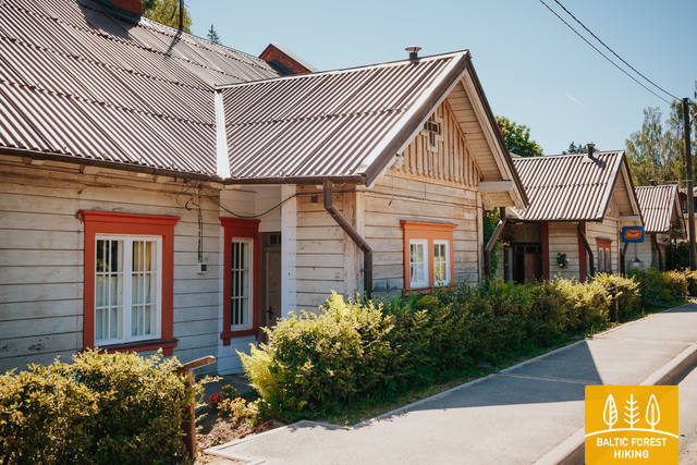
|
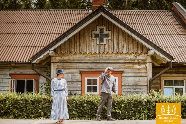
The history of Līgatne cannot be separated from the paper factory which was once the only factory of its kind in Latvia. Tours are available in the company of a guide. During the late 19th and early 20th century, the company built homes, a school, a birthing centre, a hospital, a club, a guesthouse and other buildings for its employees, and most of these buildings have survived to this day. There are more than 200 interesting underground passageways which are still used as warehouses for various items, including vegetables. |
|
The Līgatne Paper Factory is located at Pilsoņu Street 1 in Līgatne. The factory was first built in place of an old paper windmill by two tradesman from Rīga who also built dormitories for residents. These structures are an important component in the urban environment of Līgatne. The rapid flow of the Līgatne River allowed the factory to produce writing paper, stationary and wrapping paper. In 1858, the factory was brought by a local nobleman who brought in new equipment from Scotland. If some 100 people worked at the factory during the first half of the 19th century, then that number rose to 600 by the end of the century and 800 at the beginning of the 20th century. Writing paper was the primary product from the factory, although there were sometimes special orders. During World War I, for instance, the factory produced paper on which the Russian military printed its maps. This allowed the factory to hold an important role in the Russian market. During the Soviet era, the factory at Līgatne produced notebooks and other products that were sent all over the USSR. Today the factory mostly produces wrapping paper of various kinds from waste paper. The Līgatne Paper Factory is the only functioning entity of its kind in Latvia, and there are guides available to give you a tour. The historical centre of the campus on which the factory sits is a cultural monument. The Līgatne Tourism Information Centre (_371-6415-3313) offers tours of the centre during which you will learn about the lives of the factory's workers and administrators in the late 19th and early 20th century. Back then there was major construction work at the factory to build residences for workers, a school, a childbirth facility, a hospital, a club, a guesthouse and other buildings which have survived to the present day. |
|
Address: Spriņģu iela 3, Līgatne, Cēsu novads |

|
Moved by the river current. |
|
600 m wide sandstone outcrop. |
|
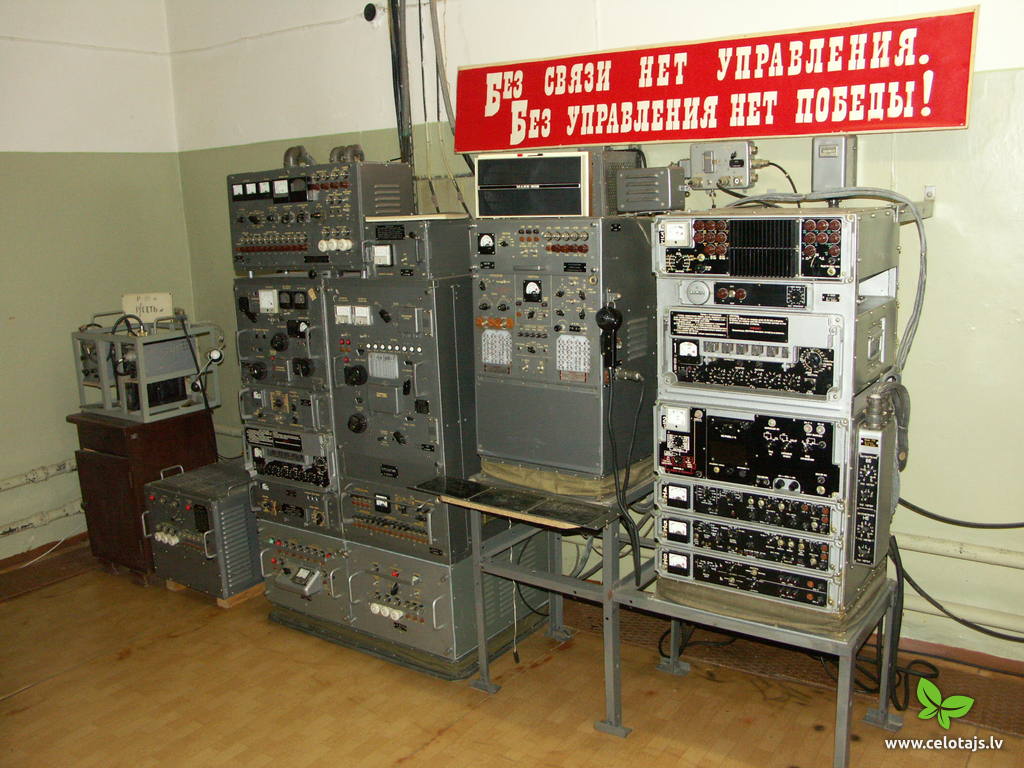
2000 m2 of floor area 9 m underground. Open to visitors. Tel: +371 64161915, 26467747. |
|
|

|
The highest Devonian rock outcrop in Latvia – 43 m. |
|
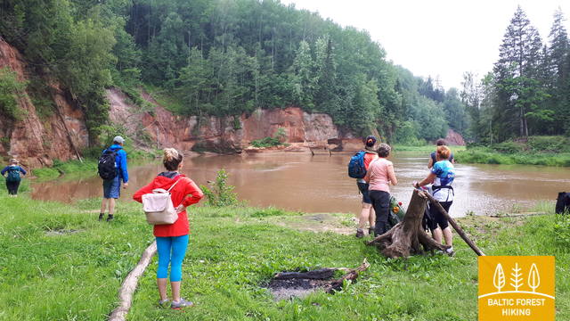
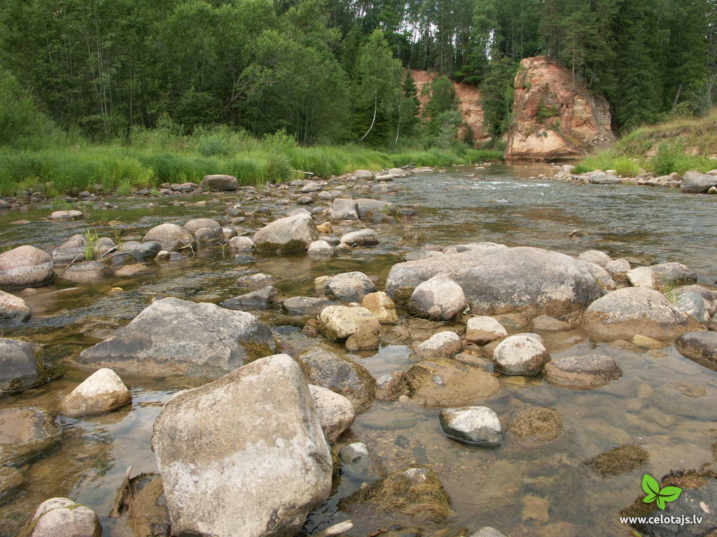
The Amata is one of Latvia's swiftest river, and water tourists congregate there each spring to engage in extreme activities. From the Rīga-Veclaicene highway, the Amata flows into a deep valley, with an average drop of more than 3 m/km or, downriver, as much as 8-10 m/km. Water tourists usually use the segment of the river between Melturi and the Zvārte cliff or the Veclauči bridge that spans the Līgatne-Kārļi road. Please remember that the Amata is not a friendly river for beginners. After lengthy rainfall, the river can be navigable during other times of the year, as well. The surrounding valley is attractive because of impressive sandstone and dolomite cliffs, among which the best known are the Vizuļi cliff (which can be the site of beautiful frozen waterfalls in winter), the Ainavu cliff, the Ķaubju cliff, the Dzilna cliff, the Zvārte cliff, and the Lustūzis cliff. Between Melturi and Veclauči, there is the Amata geological trail, which is marked with orange paint on tree trunks. There are three segments to the trail – from Melturi to the Kārļi fish farm, from the fish farm to the Zvārte cliff (both segments can be extreme!), and from the Zvārte cliff to the Veclauči bridge. You can hike the trail at any time except when there is deep snow. The most impressive views will be found when the trees are bare. If you boat down the river, you will not have time to look at or photograph the cliffs, because all of your attention will be focused on the river itself and the obstacles therein. |

|
One of the most beautiful sandstone outcrops in Latvia. |
|
|
|
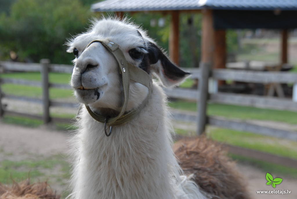
Open-Air ZOO – camels, llamas, alpacas etc. Tel: +371 20009097. |
|
Tel: +371 26400200. |
|
Tel: +371 26266266. |
|
The object is located on Cīrulīši nature trails. |
|
The object is located on Cīrulīši nature trails. |

|
The object is located on Cīrulīši nature trails. |
|
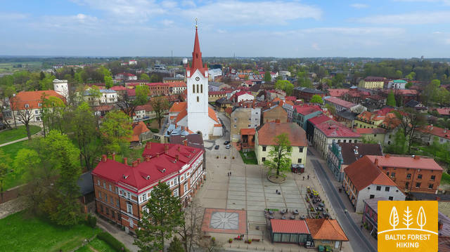
The history of Cēsis begins at the Riekstu hill, which is 18 m high and the surrounding area. There was a wooden castle built by the Vendian tribe that stood there from the 11th to the 13th century. The hill is in the central part of the castle’s park, and it offers a fine view of the park, a pond and the ruins of the Cēsis Castle. A long staircase leads to the hill. The Cēsis Castle was built in the early 13th century as the residence of masters of the Livonian Order, and it was one of the most fortified forts in the Baltic region. Alongside is the New Cēsis Castle, which was built in 1777 in a place where gate fortifications had been before. The building houses the Cēsis Museum of History and Art, and an annex contains the Castle Visitor Centre and the Cēsis Tourism Information Centre. From the tower of the castle, we get a good view of the castle ruins, St John’s Lutheran Church and the northern stretches of the city. Opposite the new castle is the stable of the Cēsis Castle Estate and a wheelhouse (both from the first half of the 19th century). Today these house the Cēsis Exhibition Hall. Other buildings include a granary, a hut for coachmen and an old brewery. On the other side of the street is the romantic May park, which was installed during the 1830s. Streets in Cēsis include Lielā Katrīna, Mazā Katrīna, Mazā Kalēju, Kalēju and Lielā Līvu streets and Līvu square with wooden buildings from the late 18th and early 19th century. Torņa Street stretches along the walls of the Medieval castle. Outside the church is a sculpture, “As the Centuries Pass By,” and legend has it that anyone who rubs the lantern of the Old Time Man can see the future. One of the most impressive buildings in Cēsis is St John’s Lutheran Church, which was built in the late 13th century by the Livonian Order. The Roman-style three-segment basilica has elements of Gothic design and a 65 m steeple that was installed in 1853. The building was reconstructed several times during the 20th century and contains grave plaques relates to masters of the Livonian Order and local bishops. The pulpit dates back to 1748, the oak altar was manufactured in 1858, and the altar painting “Crucified One” was painted in 1862. The windows of the altar part of the church contain artistically valuable stained glass. The organ was manufactured in 1907 by the E.F. Walker firm, and it is one of the best concert organs in Latvia. The solar clock with the number 1744 is in the south-wester corner of the church. It is worth scaling the viewing tower of the church. At its foot is Rose Square, which was a market square from the mid-13th century until 1927 and was restored in 2008. This is the central square in the city. During the Middle Ages, a punishment pole and the city well were here. Rīgas Street has been the main street in the old part of the city from the very start, and here we find most of the architecturally distinguished buildings from the 18th and 19th century – the former city hall, the Fābers house and the Princess house. At one end of the street is Liv Square, where there a church, cemetery and the Rīga gate in the city’s walls existed in the 13th century. Today the square is decorated by a lighted fountain at a place where a well was found in the 13th century. On the other end of the street we find a reconstruction of the foundations of the Rauna gate from the 14th and 15th century, offering a good look at Medieval walls and the size and strength of the gates. It is commonly claimed that the national flag of Latvia was born in Cēsis, but it must be emphasised that the flag that is mentioned in chronicles was designed in Cēsis in 1279 as the ideological prototype of the current Latvian flag, while the story of the first national flag actually comes from Valmiera, where it was sewn in 1916. |
